QUESTIONS? CALL OR TEXT! 1 (877) 921-6277 or (403) 266-2241
WE SHIP EVERYWHERE!

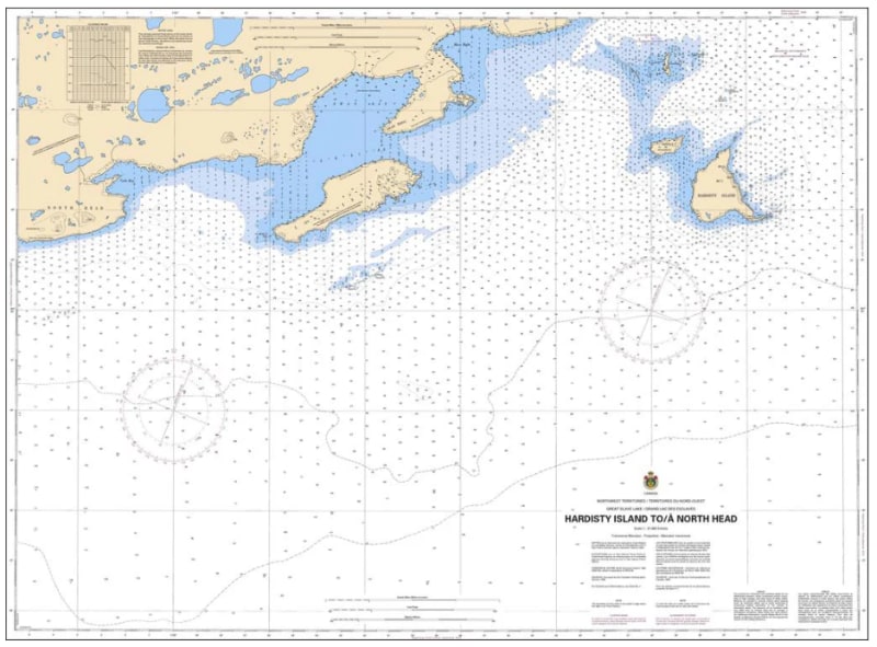
The Canadian Hydrographic Service (CHS) Chart 6356 is an official, highly detailed marine navigation chart designed for commercial shipping vessels, regional tug and barge operations, and subarctic mariners. This crucial hydrographic asset provides accurate, "ground-truth" oceanographic data for planning routes and safely navigating the waters of Great Slave Lake along the key transit corridor from Hardisty Island to North Head in the Northwest Territories.
Detailed Corridor Mapping: Delivers continuous, high-definition charting along the coastal waters and islands of Great Slave Lake between Hardisty Island and North Head.
Official Bathymetric & Seafloor Data: Features highly accurate localized depth soundings, undersea contour lines, low-water datum references, and potential underwater hazards to assist with draft clearance and navigation.
Essential Aids to Navigation: Explicitly details official Canadian Coast Guard marine buoys, light stations, daybeacons, compass roses, and shore-based geographic markers to ensure safe piloting in remote northern conditions.
High-Contrast Multi-Light Legibility: Printed using high-contrast, durable marine inks specifically formulated to maintain exceptional clarity under both bright daylight conditions and dim red-light wheelhouse environments.
Legal Vessel Compliance: Satisfies carriage regulations and Canada Shipping Act mandates for commercial and recreational vessels requiring official, government-authorized hydrographic documentation in the Northwest Territories.