QUESTIONS? CALL OR TEXT! 1 (877) 921-6277 or (403) 266-2241
WE SHIP EVERYWHERE!

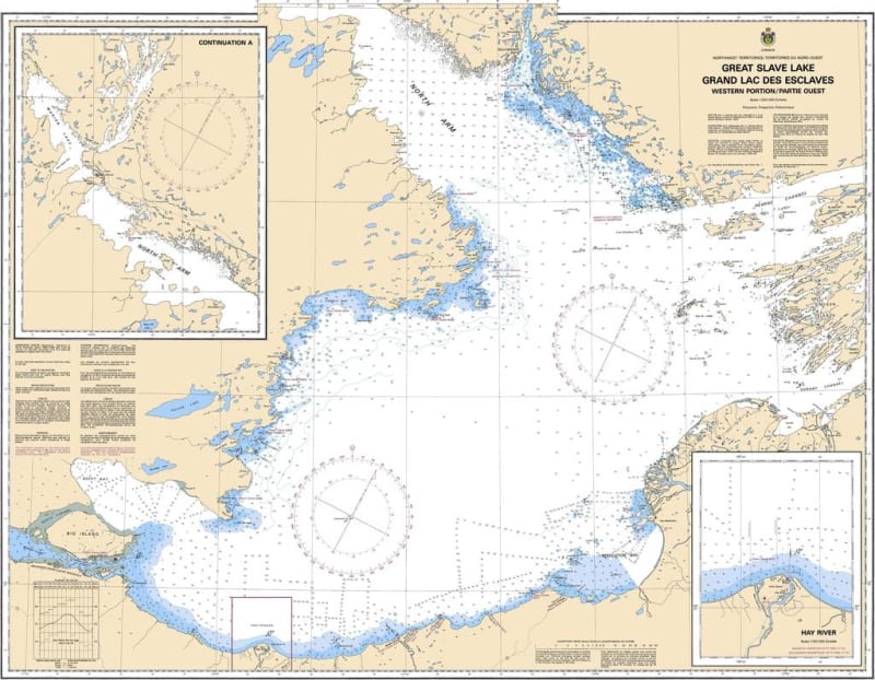
The Canadian Hydrographic Service (CHS) Chart 6370 is an official, wide-area marine navigation chart specifically designed for commercial shipping vessels, regional tug and barge operations, supply fleets, and subarctic mariners. This crucial hydrographic asset provides comprehensive, macro-level "ground-truth" oceanographic data for planning transit routes across the expansive western portion of Great Slave Lake in Canada's Northwest Territories, serving as the definitive navigation guide for this vast body of water.
Vast Regional Coverage: Spans the entire western basin of Great Slave Lake, providing essential context and continuous charting for major shipping corridors and regional approaches.
Official Bathymetric & Seafloor Data: Packed with highly accurate localized depth soundings, clear underwater contour lines, low-water datum references, and designated deep-water channels to prevent groundings of high-draft vessels.
Essential Aids to Navigation: Explicitly details all official Canadian Coast Guard marine buoys, major warning lights, daybeacons, multiple compass roses, and prominent coastal geographic markers for confident piloting.
High-Contrast Multi-Light Legibility: Printed with premium, high-contrast marine inks specifically developed to maintain exceptional clarity under intense subarctic daylight or dim red-light wheelhouse conditions.
Official Marine Compliance: Fully satisfies mandatory vessel carriage regulations and Canada Shipping Act mandates for commercial, transport, and recreational vessels requiring official hydrographic documentation for the Northwest Territories.