QUESTIONS? CALL OR TEXT! 1 (877) 921-6277 or (403) 266-2241
WE SHIP EVERYWHERE!

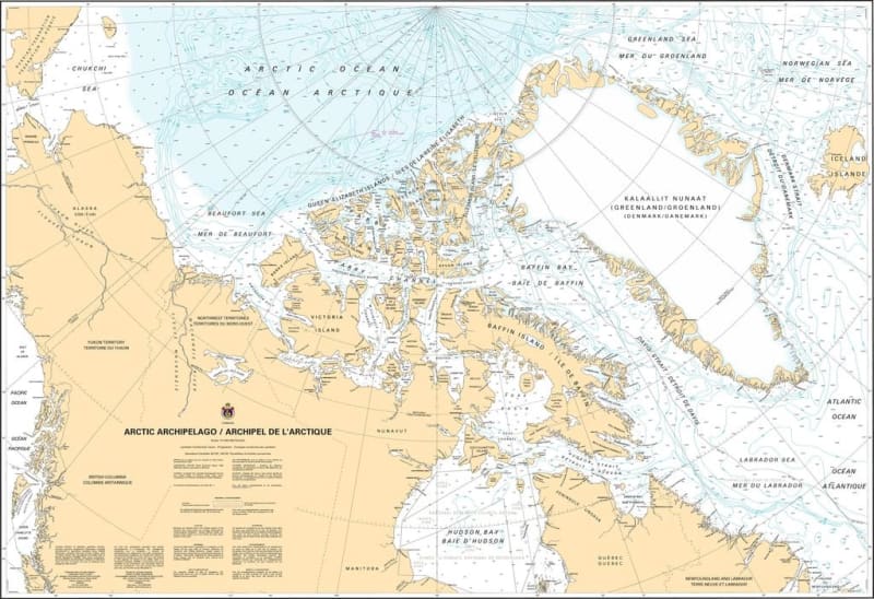
The Canadian Hydrographic Service (CHS) Chart 7000 is an official, government-authorized macro-scale nautical chart designed for deep-sea polar commercial vessels, international shipping fleets, Arctic research expeditions, and high-latitude maritime planners. This definitive navigational publication provides a sweeping, high-level structural overview of the entire Arctic Archipelago (Archipel de l'Arctique), spanning from the Beaufort Sea to Baffin Bay and mapping Canada's northernmost maritime pathways.
Comprehensive Polar Fleet Overview: Delivers an expansive macro-scale layout of the complex islands, waterways, and frozen straits that comprise Canada's northern Arctic territory.
Official Regional Bathymetry: Features high-level ocean depth soundings, primary deep-water shipping lanes, coastal shelf contours, and crucial tracking information for trans-Arctic marine routes.
Essential High-Latitude Navigational Aids: Explicitly maps major northern radio beacons, coastal lighthouses, primary compass roses accounting for high-latitude magnetic anomalies, and critical ice-monitoring zone boundaries.
High-Contrast Multi-Light Legibility: Printed with premium, high-contrast marine inks specifically formulated to remain perfectly clear and easily scannable under direct subarctic glare or low-light wheelhouse conditions.
Official Safety & Carriage Compliance: Fully satisfies mandatory vessel carriage requirements and Canada Shipping Act regulations for macro-scale voyage planning and structural navigation across northern safety sectors.