QUESTIONS? CALL OR TEXT! 1 (877) 921-6277 or (403) 266-2241
WE SHIP EVERYWHERE!

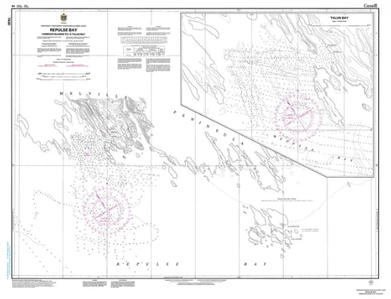
Execute precise, high-density coastal piloting along the northern edge of Hudson Bay with the official Canadian Hydrographic Service (CHS) Nautical Chart 7430. Rendered at an exceptionally detailed, large harbor scale of 1:31,700, this government-grade hydrographic map provides meticulous, micro-level navigation data for the remote marine channels linking the Repulse Bay Harbours Islands to Talun Bay in Nunavut, Canada.
Operating commercial vessels, community resupply barges (sealifts), or scientific exploration ships through Canada's subarctic waterways requires extreme localized accuracy. Because northern coastlines are prone to severe tidal fluctuations and contain complex rocky features, small-scale overview charts simply cannot capture the localized underwater landscape. Chart 7430 is explicitly engineered by the CHS to act as a definitive, large-scale tactical roadmap, providing professional mariners and icebreaker pilots with the absolute clarity required to safely transition between channels and make port entries without incident.
High-Density Bathymetry (1:31,700 Scale): Delivers tightly clustered, high-precision depth soundings and intricate contour lines, offering clear site intelligence through narrow harbor channels and littoral zones.
Anchorages & Seabed Profiles: Identifies official marine anchoring grounds alongside localized data on sea floor composition (mud, silt, sand, or rock) to ensure optimal holding power against powerful Arctic currents.
Micro-Coastal Configuration: Accurately maps low-lying coastal terrain, isolated harbor islands, and exposed rocky reefs, providing clear visual and radar targeting landmarks for helmsmen.
Hazard Safeguards & Navigational Aids: Highlights critical underwater shoals, marine obstacles, and tidal shallows, while actively tracing local beacons, buoys, and shoreline markers.