QUESTIONS? CALL OR TEXT! 1 (877) 921-6277 or (403) 266-2241
WE SHIP EVERYWHERE!

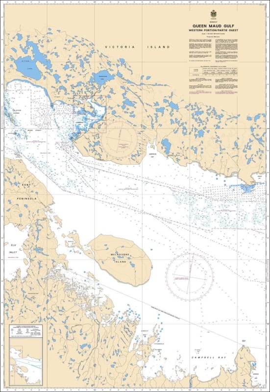
The Canadian Hydrographic Service (CHS) Chart 7782 is an official, government-authorized nautical chart expertly crafted for high-latitude cargo transport, polar research vessels, northern community resupply operations, and Arctic maritime pilots. This essential hydrographic publication provides precision mapping of the Queen Maud Gulf Western Portion (Partie Ouest), charting the critical marine approaches, shallow island fields, and complex coastal areas of Nunavut, Canada, situated eastward of the Kent Peninsula and flanking Melbourne Island.
Strategic Arctic Channel Coverage: Delivers comprehensive geographic coverage across the western expanses of Queen Maud Gulf, mapping key transit tracks that interface with the Dease Strait to the west.
Official Polar Bathymetry: Features reliable localized depth soundings, undersea contours, bottom characteristics, and clear warning notations identifying hazardous shoals, low-lying islands, and submerged rocky reefs.
Essential Aids to Navigation: Explicitly layouts official Canadian Coast Guard buoys, shoreline daybeacons, steering indicators, and dual compass roses configured to handle complex high-latitude magnetic variations.
High-Contrast Multi-Light Legibility: Printed with premium marine-grade inks formulated to maintain absolute clarity and sharp contrast under harsh subarctic glare or dim wheelhouse conditions.
Official Marine Compliance: Fully satisfies mandatory vessel carriage requirements and Canada Shipping Act regulations for macro-scale voyage planning and physical chart carriage within northern safety sectors.