QUESTIONS? CALL OR TEXT! 1 (877) 921-6277 or (403) 266-2241
WE SHIP EVERYWHERE!

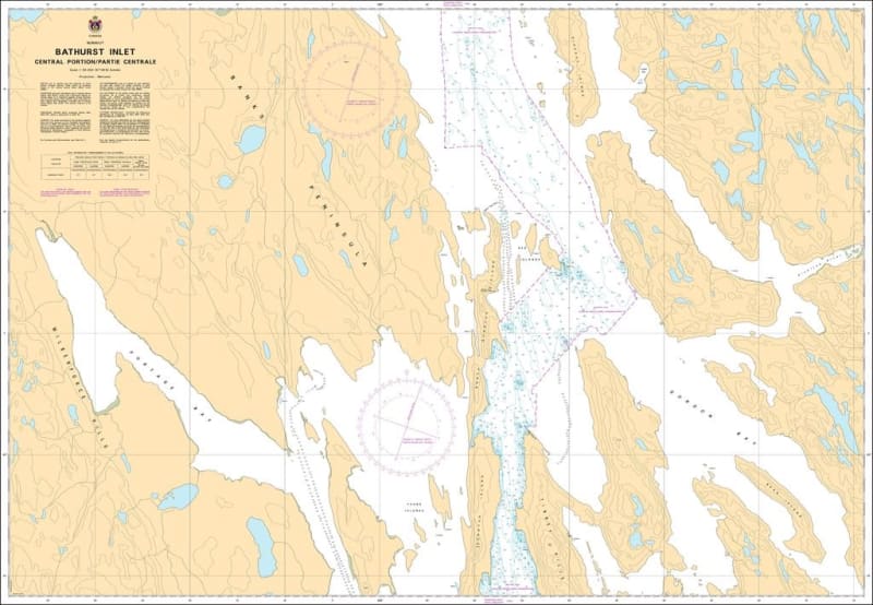
The Canadian Hydrographic Service (CHS) Chart 7792 is an official, government-authorized nautical chart expertly produced for high-latitude cargo transport, polar research vessels, resource exploration fleets, and professional northern maritime pilots. This essential cartographic publication provides specialized, high-precision hydrographic mapping of Bathurst Inlet - Central Portion (Partie Centrale), guiding mariners through the mid-section of this deep, island-dense fjord located within the Kitikmeot Region of Nunavut, Canada.
Comprehensive Central Inlet Mapping: Delivers precise charting for the core central reaches of Bathurst Inlet, capturing the complex network of narrow channels, sheltered sounds, and inner island archipelagos.
Official Polar Bathymetry: Features reliable localized depth soundings, undersea contour lines, bottom characteristics, and explicit hazard markings identifying shallow coastal shoals, low reef systems, and hidden underwater pinnacles.
Essential Aids to Navigation: Explicitly layouts official Canadian Coast Guard buoys, shore-based steering markers, daybeacons, and high-latitude compass roses meticulously calibrated to handle extreme northern magnetic variations.
High-Contrast Multi-Light Legibility: Printed with premium marine-grade inks formulated to maintain absolute clarity and sharp contrast under intense subarctic sunlight glare or dim wheelhouse conditions.
Official Maritime Carriage Compliance: Fully satisfies mandatory vessel carriage requirements and Canada Shipping Act regulations for commercial shipping, mining logistics, and scientific research vessels operating in northern safety sectors.