QUESTIONS? CALL OR TEXT! 1 (877) 921-6277 or (403) 266-2241
WE SHIP EVERYWHERE!

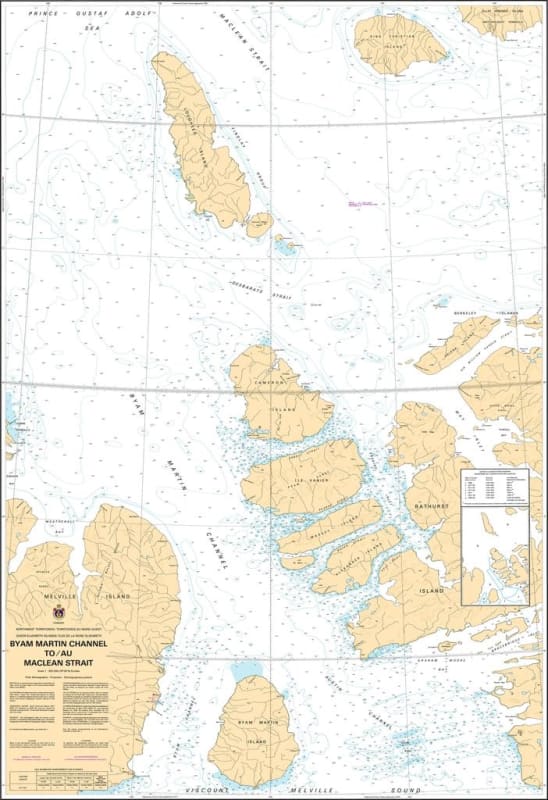
Navigate the deep-water corridors of the Queen Elizabeth Islands with the professional authority of the Canadian Hydrographic Service (CHS). Chart 7980 is the definitive navigational authority for the transit from the Byam Martin Channel to the Maclean Strait, providing essential mid-scale coverage for the waters surrounding Bathurst, Melville, and Lougheed Islands.
This region is a pivotal junction for vessels transiting between the Viscount Melville Sound and the northern straits of the archipelago. CHS Chart 7980 provides the "ground-truth" data required for:
Strategic Passage Planning: A 1:300,000 scale chart designed for safe navigation through the Byam Martin Channel, a key waterway used by expedition vessels and research icebreakers.
Complex Bathymetric Data: Provides accurate depth soundings and seafloor characteristics—essential for avoiding the submerged hazards and shoals that characterize these high-latitude channels.
High-Latitude Coastline Detail: Clearly defines the configuration and characteristics of the coast for Lougheed Island and the northeastern reaches of Melville Island, aiding in radar positioning in low-visibility Arctic conditions.
Essential Aids to Navigation: Marks elevations, hazards, and navigation aids necessary for transit in a region where magnetic variation is extreme and ice conditions are highly variable.
As the Arctic navigation season expands and the world looks toward the Last Ice Area for environmental research, the role of Chart 7980 is more vital than ever. Whether you are conducting a scientific survey or managing a northern resupply mission, this official CHS "road map" provides the accuracy and reliability required for the safe navigation of Canada's central Arctic waterways.
| Feature | Details |
| Chart Number | 7980 |
| Region | Central and Arctic (Nunavut - Queen Elizabeth Islands) |
| Scale | 1:300,000 |
| Publisher | Canadian Hydrographic Service (CHS) |
| Key Coverage | Byam Martin Channel, Maclean Strait, Lougheed Island, Bathurst Island (West) |
| Vessel Compliance | Meets SOLAS and Arctic Waters Pollution Prevention Act requirements |