QUESTIONS? CALL OR TEXT! 1 (877) 921-6277 or (403) 266-2241
WE SHIP EVERYWHERE!

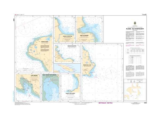
Navigate the remote and fabled shores of the "Emerald of the Gulf" with the specialized precision of CHS Nautical Chart 4430. Providing detailed Plans for Île d'Anticosti, this chart is an essential hydrographic resource for mariners traversing the waters of the Gulf of St. Lawrence. Because Anticosti is a vast island with few natural harbors, the high-resolution harbor plans found in this official Canadian Hydrographic Service document are critical for safe anchorage and docking in this rugged maritime environment.
Chart 4430 features large-scale insets of the island's primary maritime hubs, most notably Port-Menier—the island's only permanent settlement. It provides the detailed soundings and shoreline data required to navigate the western tip of the island, including Baie-Sainte-Claire and the treacherous reefs of Pointe de l'Ouest. Whether you are a commercial supply vessel delivering goods to the island or a private expedition exploring the limestone cliffs and world-class salmon rivers of Anticosti State Park, this chart offers the accuracy needed to manage the strong currents and rocky shoals of the Jacques Cartier Strait.
Key Features include:
Specialized Harbour Plans: High-scale mapping of Port-Menier, featuring detailed wharf configurations, breakwaters, and dredged channel depths.
Navigation-Critical Data: Precise depth soundings and seabed composition essential for identifying safe holding ground in the island's exposed bays.
Western Point Detail: Comprehensive coverage of the approaches to the western end of the island, including significant navigational lights and daymarks.
Safety & Hazards: Clearly identifies the extensive rocky ledges and submerged shipwrecks that characterize the "Graveyard of the Gulf."
Professional Grade: Produced to the rigorous standards of the Canadian Hydrographic Service (CHS) for professional navigation, regional logistics, and GIS analysis.