QUESTIONS? CALL OR TEXT! 1 (877) 921-6277 or (403) 266-2241
WE SHIP EVERYWHERE!

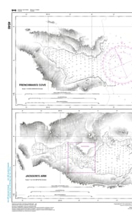
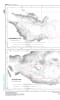
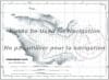
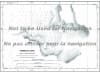
Navigate the deep, dramatic waters of the Great Northern Peninsula with complete peace of mind using the official Canadian Hydrographic Service (CHS) Nautical Chart 4540. This professional-grade marine navigation chart provides authoritative, high-resolution hydrographic data focusing specifically on the essential anchorages within White Bay, Newfoundland. Engineered to support commercial mariners, industrial shipping, local fishing fleets, and recreational cruisers, this chart is the definitive guide for locating safe haven along this rugged, wind-exposed coastline.
Spanning a standard large-format 47 x 32 inches, Chart 4540 delivers meticulous, high-density depth soundings, clear underwater hazard markings (including shoals, reefs, and submerged rocks), and critical aids to navigation such as coastal lighthouses, buoys, and topographical shoreline contours. The specialized layout offers detailed, high-contrast close-ups of specific harbors and coves throughout White Bay, ensuring precise pilotage when maneuvering into tight mooring positions or seeking shelter from North Atlantic swells. Bilingual in English and French, this official CHS chart is printed on demand using premium, high-contrast paper to guarantee exceptional readability at your vessel's helm under any lighting conditions.