QUESTIONS? CALL OR TEXT! 1 (877) 921-6277 or (403) 266-2241
WE SHIP EVERYWHERE!

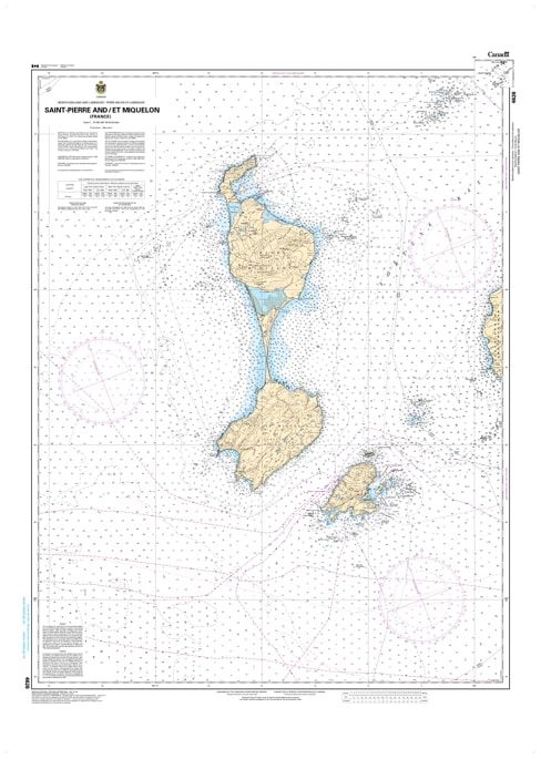
Navigate the international approaches and rugged coastlines of France's North American territory with the official Canadian Hydrographic Service (CHS) Nautical Chart 4626. This professional-grade paper marine chart provides authoritative, high-resolution hydrographic data for Saint-Pierre and Miquelon (France) and its surrounding territorial waters. Serving as an essential tool for international commercial mariners, industrial shipping lines, local fishing fleets, and offshore cruisers, this chart is the definitive safety standard required for transiting these strategic, frequently fog-enshrouded islands off the southern coast of Newfoundland.
Spanning a standard large-format 47 x 34 inches, Chart 4626 delivers meticulous, high-density depth soundings, fine-line coastal topography contours, and explicit underwater hazard markings for treacherous shallow shoals, isolated ledges, and submerged rocks. The detailed layout offers exceptional cartographic clarity for tracking vessel traffic schemes, international maritime boundaries, crucial harbor entryways, and designated safe anchoring zones protected from heavy North Atlantic swells. Bilingual in English and French, this official CHS chart is printed on demand using premium, high-contrast paper, ensuring maximum legibility on your vessel's bridge or navigation table under all marine weather conditions.