QUESTIONS? CALL OR TEXT! 1 (877) 921-6277 or (403) 266-2241
WE SHIP EVERYWHERE!

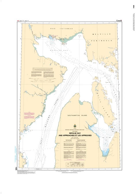
Navigate the pristine, challenging arctic waters of Nunavut with total confidence using the official Canadian Hydrographic Service (CHS) Nautical Chart 7405. This critical, high-accuracy marine chart provides complete navigational coverage of Repulse Bay (Naujaat) and its surrounding marine approaches along the northern edge of Hudson Bay.
As commercial marine supply operations (sealifts), scientific research vessels, and wilderness cruise expeditions expand across Canada's subarctic waterways, having an official, government-grade marine navigation chart is non-negotiable. Specifically engineered to meet the rigid safety requirements of professional ship captains, commercial fishing vessels, and Arctic mariners, this chart delivers the comprehensive hydrographic intelligence needed to safely guide deep-draft vessels through remote northern corridors.
Hydrographic Soundings & Depth Contours: Features high-precision water depth measurements, tracing safe channels through the unpredictable shoals and underwater shelves of Repulse Bay.
Seabed Composition Markers: Identifies the precise nature of the sea floor (e.g., mud, gravel, jagged rock) to ensure secure anchoring and prevent anchor drag in heavy arctic currents.
Coastal Topography & Landforms: Details local shoreline configurations, prominent coastal bluffs, and landmarks vital for radar positioning and visual piloting.
Maritime Hazard & Aid Index: Explicitly flags underwater hazards, dangerous reefs, tidal shallows, and all official aids to navigation, including buoys, beacons, and shore markers.
Whether you are coordinating industrial community supply logistics or piloting a northern expedition, this official CHS chart is your essential tool for safe Arctic maritime transit.