QUESTIONS? CALL OR TEXT! 1 (877) 921-6277 or (403) 266-2241
WE SHIP EVERYWHERE!

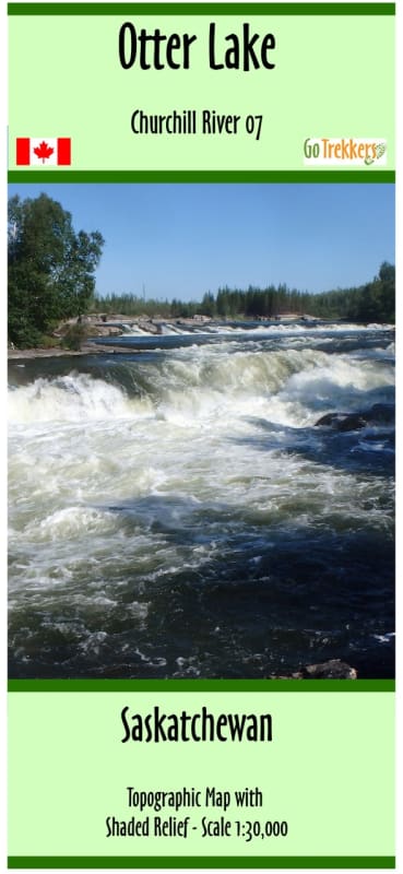

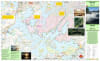
Explore the rugged heart of the Precambrian Shield with the Churchill River Map 07, the definitive topographic resource for the Otter Lake region of Northern Saskatchewan. This specialized map offers an enhanced 1:40,000 scale, providing superior detail for both backcountry hikers and wilderness paddlers. Whether you are trekking through the boreal forest or navigating the intricate island chains of Otter Lake, this map’s shaded relief and high-resolution contour lines bring the landscape to life, making elevation changes and landforms easy to interpret.
Measuring 30" x 20", Map 07 is a versatile tool for multisport adventurers. For hikers, it features a full UTM grid for precise GPS coordination and detailed terrain information essential for off-trail navigation. For canoeists, it provides a suggested route complete with verified campsites, rapids classifications, and portage data. A critical feature for modern safety is the inclusion of forest fire burn areas from the past decade, allowing you to anticipate changes in vegetation, trail visibility, and campsite shelter. Part of the renowned Churchill River series, this map is your gateway to a safe and immersive experience in one of Canada’s premier wilderness destinations.
Key Features:
Enhanced Scale: 1:40,000 resolution offers a higher level of detail than standard 1:50,000 maps for more precise navigation.
Dual-Purpose Design: Optimized for both hiking and canoeing, featuring trail-relevant terrain data and water-based route info.
Precision Navigation: Includes a full UTM grid for seamless use with compass and GPS units.
Comprehensive Trip Data: Highlights suggested routes, portage lengths, rapids, and wilderness campsites.
Fire History Mapping: Delineates forest fire burn areas from the last 10 years to help travelers understand current environmental conditions.
Field-Ready Protection: Printed on high-quality paper and delivered in a protective plastic sleeve for durability in the elements.