QUESTIONS? CALL OR TEXT! 1 (877) 921-6277 or (403) 266-2241
WE SHIP EVERYWHERE!

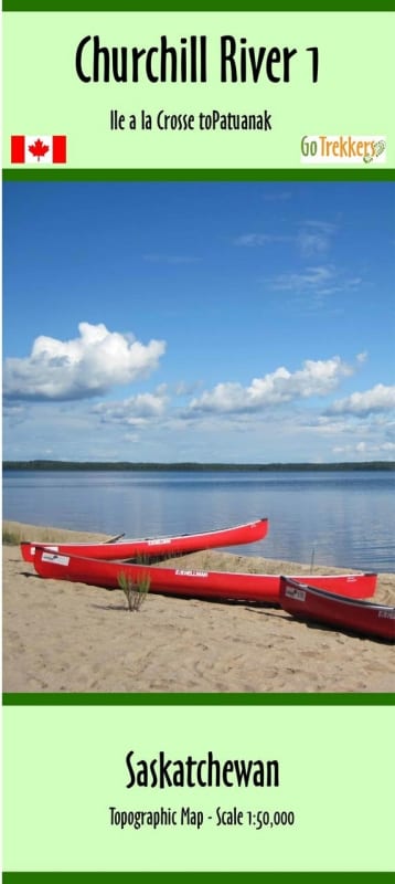


Begin your Northern Saskatchewan expedition with the Churchill River Map 1, the definitive starting point for navigating one of Canada's most historic waterway systems. This map provides comprehensive coverage for the stretch from Lac Île-à-la-Crosse to Patuanak. As the first installment in a premium 12-map series, this guide sets the standard for backcountry navigation on the Churchill, offering a unique 1:60,000 scale (integrated with 1:50,000 series data) that captures the expansive beauty and technical challenges of the region.
The map features high-detail shaded relief, allowing paddlers to visualize the transition from the boreal plains into the rugged Precambrian Shield. Expertly designed for the field, it highlights the suggested canoe route and is packed with critical data: classes of rapids, verified campsite locations, portage details, and kilometer markers. To assist with modern trip planning, the map also identifies forest fire burn areas from the past decade—vital information for scouting clear shorelines and firewood. Measuring a specialized 14" x 46", this map is tailored for easy folding and reference inside a canoe or cockpit.
Key Features:
The Journey Begins: Map #1 in a 12-part series—essential for the complete Churchill River traverse.
Navigation-Ready Scale: 1:60,000 scale with shaded relief for superior terrain recognition and obstacle avoidance.
Comprehensive Route Detail: Includes rapids classifications, portage info, obstacles, and official lake and river names.
Expedition Logistics: Clearly marked campsites and kilometer markers help you manage your daily paddling pace.
Fire History Data: Delineates burn areas from the last 10 years to help paddlers understand current environmental conditions.
Field Durability: Printed on high-quality paper and delivered in a protective plastic sleeve for weather resistance.