QUESTIONS? CALL OR TEXT! 1 (877) 921-6277 or (403) 266-2241
WE SHIP EVERYWHERE!

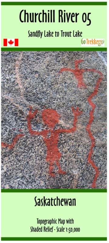

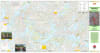
Navigate the breathtaking mid-section of the Churchill River system with the Churchill River Map 5. This high-precision topographic guide is an essential resource for anyone planning an expedition through North Central Saskatchewan, covering the expansive water corridor from Sandfly Lake to Trout Lake. Expertly rendered at a 1:50,000 scale with shaded relief, this map allows paddlers to visualize the rugged Precambrian Shield terrain and anticipate elevation changes with professional accuracy.
Measuring a generous 41.5" x 21.5", Map 5 provides a comprehensive view of the region and seamlessly joins the Trout Lake to Otter Lake map to the east, allowing for effortless multi-map trip planning. This guide features a suggested canoe route carefully selected to provide the best possible wilderness experience. It is packed with critical navigational data, including verified campsite locations, detailed portage and rapids information, and potential water hazards. To assist with modern logistics, the map also identifies access points, parking areas, and forest fire burn areas from the past decade—vital for understanding current shoreline conditions and firewood availability. Whether you are a seasoned guide or a first-time explorer, this map is your definitive tool for a safe and successful journey.
Key Features:
Strategic Mid-River Coverage: Detailed mapping of the Churchill River from the eastern reaches of Sandfly Lake through to Trout Lake.
Seamless Integration: Designed to connect perfectly with the subsequent map in the series (Trout to Otter Lake) for long-haul expeditions.
1:50,000 High-Detail Scale: Includes shaded relief and contour lines for superior terrain recognition and precise navigation.
Comprehensive Trip Logistics: Features suggested routes, portage lengths, rapids classifications, campsites, and access points.
Environmental Awareness: Includes delineated forest fire burn areas from the last 10 years to help paddlers scout clear shorelines.
Field-Ready Protection: Printed on high-quality paper and delivered in a protective plastic sleeve to withstand the rigors of the Canadian wilderness.