QUESTIONS? CALL OR TEXT! 1 (877) 921-6277 or (403) 266-2241
WE SHIP EVERYWHERE!

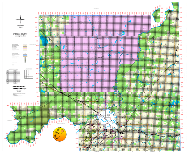
Navigate the northern reaches of Southeastern Alberta with the highly detailed Cypress County Landownership Map - North Half. This essential municipal reference provides a comprehensive view of land tenure and rural infrastructure for the northern portion of Municipal District No. 1, extending from the South Saskatchewan River to the county's northern boundaries.
The map is specifically designed for high-utility land management, featuring quarter-section labeling that clearly identifies each parcel with the current landowner's name. To facilitate quick identification of land status, a distinct color-coding system is used to represent Freehold (Private), Crown (Government), and Crown Leased lands. This map also provides exceptionally current road information, including the Alberta Township Survey (ATS) grid, Township Roads, and Range Roads, as well as the prominent CFB Suffield (Canadian Forces Base) block. Whether you are an agricultural producer, a land developer, or a recreational user, this map offers the precise geographical data needed for the northern Cypress County region.
Key Features:
Specific Northern Coverage: Dedicated mapping of the North Half of Cypress County, including detailed views of the South Saskatchewan River corridor.
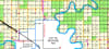
Detailed Ownership Information: Every 1/4 section is marked with the registered landowner's name for accurate property identification.
Visual Land Status: Color-coded designations for Crown, Private, and Leased land types allow for immediate land-use assessment.
Infrastructure & Road Networks: Features the most current data for Township and Range roads, highways, and municipal boundaries.
Regional Landmarks: Clearly identifies CFB Suffield, the Town of Redcliff, and the northern approaches to the City of Medicine Hat.
Municipality: Cypress County (M.D. No. 1)
Region: North Half (including CFB Suffield and South Saskatchewan River area)
Primary Use: Land ownership identification, rural navigation, and municipal planning