QUESTIONS? CALL OR TEXT! 1 (877) 921-6277 or (403) 266-2241
WE SHIP EVERYWHERE!

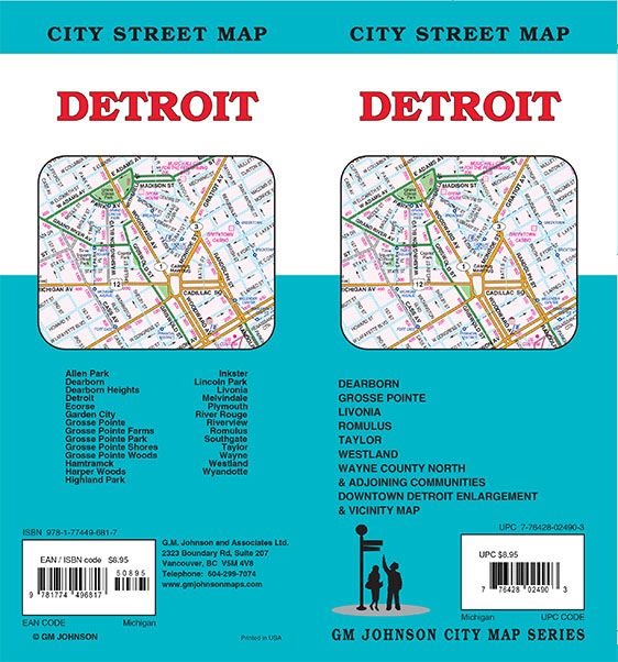
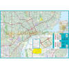
Navigate the "Motor City" with the most up-to-date Detroit, Michigan City Street Map. This comprehensive folded map is an essential tool for residents, business travelers, and tourists exploring the massive 139-square-mile expanse of Detroit and its vital surrounding municipalities.
From the high-tech skyline of the GM Renaissance Center to the historic automotive roots in Dearborn, this map provides the detailed street-level accuracy required for professional and personal travel across Wayne County.
Extensive Metro Coverage Includes:
Detroit Proper: Complete mapping of Downtown, Midtown, Corktown, and the Eastern Market, including major landmarks like Comerica Park, Ford Field, and the Detroit Institute of Arts (DIA).
Automotive Hubs: Full street indices for Dearborn (Home of the Henry Ford Museum & Ford HQ), Dearborn Heights, Livonia, and Wayne.
The Grosse Pointes: Comprehensive detail for the affluent waterfront communities including Grosse Pointe Park, Farms, Shores, and Woods.
Key Suburbs & Cities: Clear routing for Allen Park, Garden City, Hamtramck, Highland Park, Lincoln Park, Southgate, Taylor, Westland, and Wyandotte.
Transit & Travel: Includes major interstates (I-75, I-94, I-96), the Ambassador Bridge and Detroit-Windsor Tunnel for international travel, and easy navigation to Detroit Metropolitan Wayne County Airport (DTW) in Romulus.
Whether you are visiting Belle Isle Park, commuting through the Southfield Freeway (M-39), or exploring the "Hitsville U.S.A." Motown Museum, this map ensures you stay on track through every neighborhood.