QUESTIONS? CALL OR TEXT! 1 (877) 921-6277 or (403) 266-2241
WE SHIP EVERYWHERE!

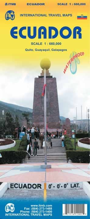


Experience the ultimate adventure through the "Four Worlds" with the Ecuador Topographical Road & Travel Map. This all-in-one navigational tool is specifically engineered for travelers who want to explore everything from the high-altitude peaks of the Andes to the deep biodiversity of the Amazon and the volcanic wonders of the Galapagos. Featuring vibrant elevation rendering, this map brings the country's dramatic verticality to life, making it an essential resource for hikers, mountaineers, and road-trippers navigating the famous Avenue of the Volcanoes.
Beyond simple road navigation, this map is a comprehensive explorer's guide. It highlights iconic adventure hubs like Baños, the stunning Cotopaxi Volcano, and the cultural treasures of Cuenca. For those navigating the urban sprawl, specialized inset maps of Quito and Guayaquil provide clear street-level detail for the historic capital and the primary coastal port. Printed on waterproof, tear-resistant material, this map is built to withstand the humid conditions of the El Oriente rainforest and the misty heights of El Cajas National Park. Whether you are driving the Pacific Coast or trekking the highlands, this map ensures you stay on track across Ecuador’s diverse terrain.
Regional Coverage: Includes the Andes (Sierra), Coast (Costa), Amazon (Oriente), and the Galapagos Islands (Insular).
Elevation Rendering: High-contrast, rich-color topography used to illustrate the extreme changes in altitude characteristic of the Ecuadorian landscape.
Infrastructure: Comprehensive marking of primary and secondary roads, ideal for self-drive tours.
Specialized Insets: Detailed street maps for Quito (Historic Center and New Town) and Guayaquil.
Adventure Landmarks: Clearly identified National Parks (Cotopaxi, El Cajas, Yasuni) and tourist hotspots.
Durability: 100% Waterproof and Tear-Resistant, designed for extreme outdoor use.
Ecuador is a country defined by its verticality. Traveling from the coast to the highlands means ascending over 4,000 metres in a single day. A standard road map cannot convey the steep gradients and winding "calle" routes of the Andes; this topographical version provides the visual depth needed to understand the terrain before you drive or hike it.