QUESTIONS? CALL OR TEXT! 1 (877) 921-6277 or (403) 266-2241
WE SHIP EVERYWHERE!

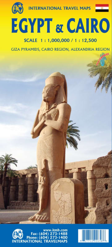
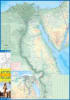

The Egypt & Cairo Travel Map is an all-in-one, highly detailed regional roadmap and urban guide engineered for international travelers, cultural tourists, and archaeological enthusiasts. This dual-sided cartographic asset combines a comprehensive overview of Egypt's historical Nile corridor with an intricate, street-level breakdown of the sprawling Cairo metropolis.
Nile Corridor & Mediterranean Coastline (Front Side): Features seamless tracking from the northern Mediterranean coast all the way south to the Aswan Dam. Includes a comprehensive large country overview inset and a curated index highlighting Egypt’s top historical attractions, including iconic temples, pyramids, and tombs.
Intricate Cairo Street & Transit Guide (Reverse Side): Flips over to reveal a highly detailed urban map of Cairo, complete with integrated stations and lines for the city's rapid transit system.
Specialized Archaeological Insets: Includes an essential close-up inset of the world-famous Giza Pyramid complex, alongside a regional Cairo inset tracking all known ancient tombs west of the Nile River south to Helwan.
Coastal Urban Overviews: Features dedicated inset maps for Alexandria and other primary urban transit hubs positioned along the northern coastline.
Eco-Friendly, Adventure-Ready Build: Printed on advanced synthetic material that is both $100\%$ waterproof and biodegradable, ensuring it survives desert sandstorms and rugged backpacking while remaining environmentally conscious.