QUESTIONS? CALL OR TEXT! 1 (877) 921-6277 or (403) 266-2241
WE SHIP EVERYWHERE!

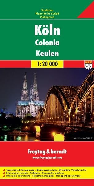
Navigate Germany's majestic, 2,000-year-old cultural hub on the Rhine with total precision using the Cologne (Köln) City Map by Freytag & Berndt. Renowned worldwide by cartophiles and frequent fliers for producing some of the most beautiful and high-quality maps on the market, Freytag & Berndt balances incredible artistic presentation with tactical geographic data to deliver an elite urban navigation tool.
Rendered at an exceptionally detailed 1:20,000 (20k) scale, this map charts the entire layout of Cologne with brilliant, high-contrast colors. It features beautiful relief shading that brings the regional topography to life, making it simple to visualize elevation changes, valley bowls, and green spaces along the winding Rhine River. Every neighborhood—from the historic Altstadt to the trendy Belgian Quarter—is captured with immense clarity.
Designed to serve as a standalone trip planner, this map eliminates the need for bulky travel literature by utilizing an efficient, space-saving layout:
Micro-Level Street Precision: Extensively logs street names, pedestrian-only zones, one-way driving grids, and the intricate local U-Bahn and S-Bahn light rail transit networks.
Double-Sided Multimedia Format: The map splits its footprint across a double-sided layout, dedicating the reverse side to curated high-quality photographs and detailed tourist information about the city's rich history.
Points of Interest (POI) Overlay: Easily locate Cologne’s most famous landmarks, including the iconic Cologne Cathedral (Kölner Dom), historic Romanesque churches, world-class museums, local beer halls (Brauhäuser), and waterfront promenades.
Whether you are arriving for a weekend city break, mapping out a business trip, or exploring the Rhineland, this premium map ensures you have a flawless grasp of the terrain.