QUESTIONS? CALL OR TEXT! 1 (877) 921-6277 or (403) 266-2241
WE SHIP EVERYWHERE!

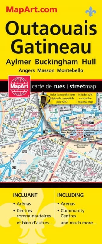
The Gatineau & Region Street Map is an indispensable, field-tested navigation guide designed for local residents, commuters, delivery drivers, and visitors exploring Western Quebec and the National Capital Region. Printed in high-contrast full colour with clear typography, this comprehensive street map provides accurate, up-to-date cartographic coverage across the entire Outaouais corridor and adjacent cross-river routes into Ottawa.
Complete Gatineau Sector Detail: Features street-level mapping across all major sectors of Gatineau—including Hull, Aylmer, Buckingham, and Masson-Angers.
Extended Outaouais Regional Reach: Expands outward to cover key gateway towns and rural regions across Hautes-Laurentides, Maniwaki, and Montebello.
Cross-Border Capital Integration: Clearly maps interprovincial bridges, highway connectors, and primary thoroughfares linking Gatineau directly to downtown Ottawa.
Complete Street Index: Includes a comprehensive, easy-to-read street index featuring alphabetical listings for fast street lookup, neighborhood identification, and precise grid navigation.
Vibrant Full-Colour Layout: Color-coded arterial highways, secondary roads, parks, industrial zones, and waterways ensure high legibility while driving or route planning.
Compact & Portable: Printed on durable paper media designed to open smoothly for macro-route planning and fold down neatly for storage in a car glovebox, side door panel, or backpack.
Whether you are navigating daily cross-river commutes, dispatching service routes, or exploring the scenic Outaouais region, the Gatineau & Region Street Map delivers complete offline navigation confidence.