QUESTIONS? CALL OR TEXT! 1 (877) 921-6277 or (403) 266-2241
WE SHIP EVERYWHERE!

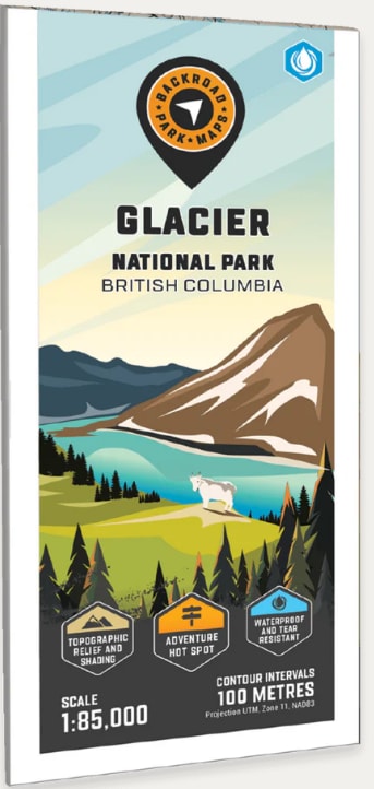
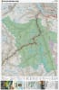
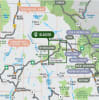
Navigate the heart of the Selkirk Mountains with the definitive Glacier National Park Topographic Recreation Map. Known for its steep peaks, ancient glaciers, and legendary deep-powder skiing, this map is an essential companion for adventurers exploring one of British Columbia’s most rugged landscapes.
Comprehensive Backcountry Detail:
Topographic Precision: Features detailed contour lines and relief shading at a 1:85,000 scale, providing a clear 3D perspective of the mountain terrain and valley floors.
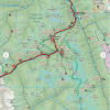
All-Season Trails & Routes: Mapped with precision for both summer and winter travel. Includes classic hiking routes like the Asulkan Valley Trail, Balu Pass, and the Meeting of the Waters, as well as the high-altitude Youngs Peak Traverse for backcountry skiers.
Alpine Shelters & Camping: Stay safe with clearly marked backcountry huts and cabins, including the A.O. Wheeler Hut, Asulkan Hut, and the remote Sapphire Col Hut. Also includes front-country facilities like the Loop Brook Campground.
Historic & Unique Landmarks: Discover the park’s rich mountaineering history with marked historic sites and geological wonders like the Nakimu Caves and the Illecillewaet River headwaters.
Large Format Print: Printed on high-quality 61 x 94 cm (24 x 37 in) paper, ensuring all geographic labels—from Avalanche Mountain to Mount Abbot—are sharp and legible.
Whether you are embarking on a grueling summer trek or navigating a complex winter skin track, this map provides the essential data on access roads, campsites, and terrain hazards to ensure a safe and successful mountain expedition.