QUESTIONS? CALL OR TEXT! 1 (877) 921-6277 or (403) 266-2241
WE SHIP EVERYWHERE!

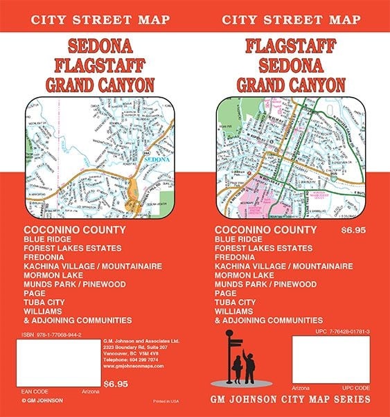



Seamlessly navigate the breathtaking landscapes, red rock vistas, and historic urban corridors of Northern Arizona with the authoritative Flagstaff, Sedona, and Grand Canyon City Street Map by GM Johnson. Engineered for road-trippers, wilderness tourists, daily commuters, and regional delivery fleets, this high-density fold map offers clean, uncompromised cartographic clarity across the heart of Coconino County.
Northern Arizona contains some of the most dynamic terrain in the American Southwest, shifting rapidly from the dense pine forests of Flagstaff to the slickrock canyons of Sedona and the immense precipices of the Grand Canyon. Rather than relying on erratic cellular signals or small digital screens while traversing remote high-desert highways, this physical street map delivers an expansive, highly scannable view of the entire regional network.
On the front side, the map unveils a comprehensive, street-level layout of the City of Flagstaff, detailed down to the local neighborhoods, bypasses, and industrial sectors. Flip the sheet over to reveal a deep regional matrix of Coconino County, providing an essential navigational safety net for those driving between major geographic checkpoints.
To ensure complete coverage of Northern Arizona’s most high-traffic and remote pockets, this street map features highly detailed localized city insets, including:
The High-Demand Gateways: Dedicated close-up mapping for Sedona, Grand Canyon Village, and Williams (the historic gateway to the canyon).
Northern & Regional Hubs: Specialized breakdowns for Page (near Lake Powell) and Fredonia.
Academic & Community Layouts: Full, navigable layouts for the Northern Arizona University (NAU) campus, as well as mountain residential communities like Munds Park (Pinewood), Mormon Lake, Forest Lake Estates, and Forest Highlands.
Comprehensive Street Index: Features an alpha-numeric, cross-referenced index on the reverse side, allowing users to rapidly isolate obscure rural roads, neighborhood avenues, and scenic drives.
Point of Interest Directory: High-visibility indicators identify national park entrance stations, historic Route 66 landmarks, major trailheads, campgrounds, public airports, and county facilities.
Glove-Box Ready Format: Cleanly folded to a compact 9" x 4.3", this map is designed to fit perfectly into standard vehicle console compartments, door pockets, or hiking packs.
| Attribute | Map Directory Profile |
| Publisher | GM Johnson Maps |
| Primary Core City | Flagstaff, Arizona |
| County Footprint | Complete coverage of Coconino County |
| Key Insets Included | Sedona, Grand Canyon Village, Page, Williams, Fredonia, NAU Campus |
| Unfolded Dimensions | 22 x 39 inches (56 x 98 cm) |
| Format | Folded paper map with intuitive legend |