QUESTIONS? CALL OR TEXT! 1 (877) 921-6277 or (403) 266-2241
WE SHIP EVERYWHERE!

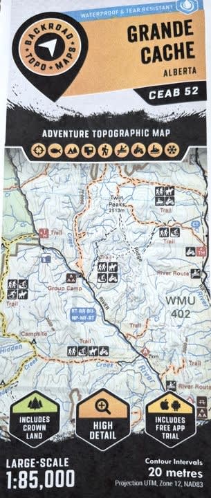

Explore the gateway to the northern Rockies with the Grande Cache Topographic Map (CEAB52). This high-detail 1:75,000 scale map is the definitive resource for navigating the rugged terrain of West-Central Alberta. Whether you are training for the "Canadian Death Race," staging a multi-day expedition into the Willmore Wilderness, or exploring industrial access roads, this map provides the precision and clarity required for the backcountry.
Unmatched Geographic Detail:
Scale & Coverage: At a high-resolution 1:75,000 scale, tile CEAB52 covers approximately 2,465 sq km of mountainous landscape, centered on the town of Grande Cache and the Highway 40 corridor.
Peak & Trail Navigation: Includes detailed contours and relief shading for iconic landmarks like Grande Mountain, Mount Hamell, and Caw Ridge.
Wilderness Staging: Provides essential mapping for the northern reaches of Willmore Wilderness Park and the breathtaking canyons of Sulphur Gates Provincial Park.
Industrial & Backroad Access: Stay on track with updated data on logging roads, resource trails, and oil & gas sites—critical for 4x4 enthusiasts and forestry professionals.
Water & Recreation: Clearly identifies Pierre Grey’s Lakes, the Smoky River, and the Sulphur River, including boat launches and prime fishing spots.
Hunting & Wildlife Management:A vital tool for the hunting community, this map features clearly defined boundaries for Wildlife Management Units (WMU) 442, 444, and 445, ensuring you stay within permitted zones.
From the technical trails of the Great Canadian Death Race to the remote alpine meadows of the Alberta Rockies, the CEAB52 map is your most reliable co-pilot for navigating the Grande Cache region.