QUESTIONS? CALL OR TEXT! 1 (877) 921-6277 or (403) 266-2241
WE SHIP EVERYWHERE!

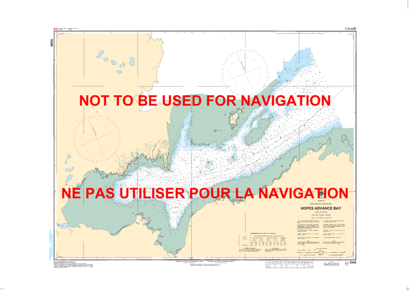
Navigate the complex subarctic inlet and harbor waters of western Ungava Bay with the official Canadian Hydrographic Service (CHS) Chart 5349, covering Hopes Advance Bay in Nunavik, Northern Quebec.
Engineered to navigate the extreme hydrographic challenges of Ungava Bay—famed for its world-record tidal ranges, strong tidal streams, shallow rocky shoals, and variable subarctic weather—this map delivers critical underwater intelligence for safe transit and anchorage. It features meticulous bathymetric depth soundings, accurate shoreline topography, submerged hazards, drying rocks, and key navigational aids. Whether relied upon as an essential physical safety backup to your vessel's electronic charting system or displayed as a beautifully detailed piece of northern Canadian cartography, this print-on-demand chart offers exceptional spatial accuracy. Printed on heavy-duty, marine-ready media, it is built to handle active shipboard use or serve as an eye-catching wall display in any home, office, or northern lodge.