QUESTIONS? CALL OR TEXT! 1 (877) 921-6277 or (403) 266-2241
WE SHIP EVERYWHERE!

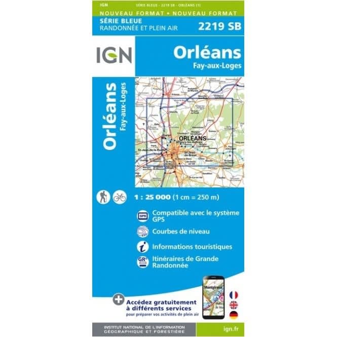
Navigate the historic streets of the Loire Valley and the vast massifs of France's largest national forest with the Definitive Orléans Hiking Map series. These ultra-detailed 1:25,000 scale topographic maps from IGN (Série Bleue & TOP 25) are the gold standard for walkers, offering high-precision clarity at a scale where 1cm on paper equals 250m on the ground. This collection provides comprehensive coverage of the Forêt d’Orléans, spanning from the urban riverside of the Loire to the deep oak and pine groves of the Ingrannes and Lorris massifs.
Whether you are exploring the Orléans Historical Center Discovery Trail, hiking the GR 3 along the UNESCO World Heritage Loire banks, or venturing into the forest to find the Belvédère des Caillettes, these maps ensure you never lose your way. Each sheet features 5-metre contour intervals, shaded relief for terrain visualization, and a clear legend in three languages. Essential for serious trekkers, the maps highlight all GR (Grande Randonnée) and PR (Petite Randonnée) trails, as well as crucial points of interest like the Château de Chamerolles, hidden forest ponds (Étang de la Vallée), and local refuges. Fully GPS compatible with a 1km UTM grid, this is the indispensable tool for safe and detailed exploration of the Loiret region.