QUESTIONS? CALL OR TEXT! 1 (877) 921-6277 or (403) 266-2241
WE SHIP EVERYWHERE!

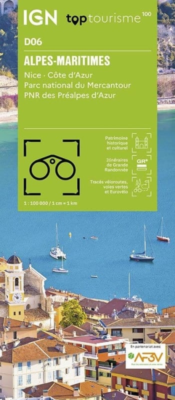
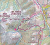
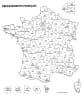
SEO Product Description (Long Form)Explore the stunning contrast where the French Riviera meets the High Alps with the IGN Top 100 Alpes-Maritimes Map. Fully updated as part of the new Top 100 Tourisme series (Map D06), this map is the definitive 1:100,000 scale guide for Department 06. Specifically engineered as a high-precision hybrid tool, it is designed for cyclists, hikers, and drivers navigating the sophisticated coastline and rugged backcountry, including the pristine wilderness of Mercantour National Park.
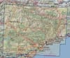
This map is essential for maximizing your visit to the region, providing unrivaled coverage of major hubs like Nice, Cannes, and Antibes while also detailing the remote mountain passes of the interior. It features an enriched network of secondary roads perfect for safe cycling, alongside the entire GR® and GR de Pays® long-distance trail network (including the GR 5, GR 52, and the legendary Vallée des Merveilles). The cartography is rich with practical tourist data, pinpointing beaches, climbing sites, ski resorts, white water sports locations, castles, and panoramic viewpoints. With contour lines for topographic clarity, a complete index of municipalities, and full GPS compatibility, this trilingual map (French/English/German) is the ultimate tool for discovering the unique beauty of the Alpes-Maritimes, from the Mediterranean beaches to the snowy peaks of the Argentera massif.
Quick Reference: Map Number Guide
New Series Code:D06 (Alpes-Maritimes)
Classic Series Equivalent:Map 166 (Nice / Barcelonnette) and Map 172 (Cannes / Nice / Menton)
Key Coverage: Nice, Cannes, Antibes, Menton, Grasse, Monaco (adjacent), Parc National du Mercantour, and Vallée de la Roya.