• QUESTIONS? CALL OR TEXT! 1 (877) 921-6277 or (403) 266-2241

  • WE SHIP EVERYWHERE!

Prices are in Canadian funds

Home >
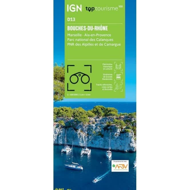
IGN Top 100 (D13) Bouches-du-Rhône travel map featuring Marseille, Aix-en-Provence, Calanques National Park, and Camargue trails.

Bouches-du-Rhône IGN Top 100 Map | Marseille, Aix-en-Provence & Camargue Road Map

IGN
$
Product Code: IGN13
CURRENTLY UNAVAILABLE

Experience the diverse landscapes of Provence with the IGN Top 100 Bouches-du-Rhône Map. Part of the newly revised Top 100 Tourisme series (Map D13), this map is the definitive 1:100,000 scale guide for Department 13. Designed as a high-precision hybrid for cyclists, hikers, and drivers, it offers a comprehensive view of France's sun-drenched southern coast, from the vibrant streets of Marseille and Aix-en-Provence to the wild wetlands of the Camargue Regional Natural Park.

This map is engineered for exploration, featuring an enriched network of secondary roads perfect for safe cycling, including the latest VéloRoutes and Voies Vertes (Greenways) in partnership with the AF3V.For outdoor enthusiasts, it clearly highlights the Calanques National Park, the Alpilles Regional Natural Park, and the entire GR® and GR de Pays® long-distance trail network.The revised cartography includes high-precision tourist information, pinpointing churches, castles, caves, panoramic viewpoints, and supervised beaches.With contour lines for elevation and full GPS compatibility, this trilingual map (French/English/German) is the essential tool for discovering the historic monuments and natural wonders of the Bouches-du-Rhône.

Quick Reference: Map Number Guide

  • New Series Code:D13 (Bouches-du-Rhône)

  • Classic Series Equivalent:Map 165 (Castellane / Draguignan), Map 170 (Marseille / Avignon), and Map 171 (Marseille / Toulon)

  • Key Coverage: Marseille, Aix-en-Provence, Arles, Salon-de-Provence, Cassis, Parc National des Calanques, and PNR de Camargue.

Empty Cart