QUESTIONS? CALL OR TEXT! 1 (877) 921-6277 or (403) 266-2241
WE SHIP EVERYWHERE!

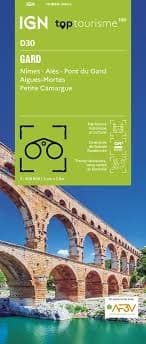

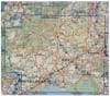
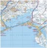
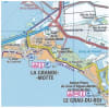
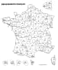
Explore the Roman wonders and rugged landscapes of Southern France with the IGN Top 100 Gard Map. Part of the recently updated Top 100 Tourisme series (Map D30), this 1:100,000 scale map is the definitive guide for Department 30. Perfectly balanced for versatile exploration, it provides the ideal resolution for discovering the sunny Mediterranean coast and the dramatic Cévennes mountains by foot, bike, or car.
This map is an essential companion for outdoor enthusiasts and history buffs alike. It features comprehensive coverage of the Pont du Gard, the Roman arena of Nîmes, the medieval walls of Aigues-Mortes, and the gateway to the Cévennes National Park at Alès. For hikers, it includes an overprint of the entire GR® and GR de Pays® network, including the legendary Stevenson Trail (GR 70). Cyclists can navigate with ease using the highlighted VéloRoutes and Voies Vertes, such as the Via Rhôna. The topographic detail is superb, featuring contour lines and shaded relief that bring the Garrigue plateaus and deep gorges to life. With full GPS compatibility and a trilingual legend, this map is the ultimate resource for navigating the Gard from the Rhône valley to the peaks of Mont Aigoual.
Quick Reference: Map Number Guide
New Series Code:D30 (Gard)
Classic Series Equivalent:Map 163 (Privas / Alès) and Map 170 (Marseille / Avignon)
Key Coverage: Nîmes, Alès, Uzès, Bagnols-sur-Cèze, Aigues-Mortes, Pont du Gard, and the eastern edge of the Cévennes.