QUESTIONS? CALL OR TEXT! 1 (877) 921-6277 or (403) 266-2241
WE SHIP EVERYWHERE!

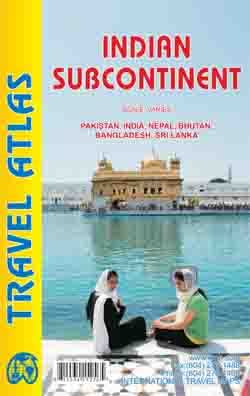
The Indian Sub-Continent Travel Atlas is the most comprehensive single resource for navigating this vast and diverse region. This unique atlas provides unparalleled, detailed coverage of Pakistan, India, Nepal, Bhutan, Bangladesh, Sri Lanka, and the historically significant region of Kashmir. Unlike single-sheet maps, each country is presented at an appropriate, large scale for maximum detail, making it indispensable for road trips and complex travel logistics. Whether you are trekking in the Himalayas or exploring the bustling cities of the plains, this atlas provides the necessary detail.
Comprehensive Regional Coverage: Features dedicated, detailed sections for Pakistan, India, Nepal, Bhutan, Bangladesh, Sri Lanka, and the contested region of Kashmir (considered shared).
High-Detail Scale: Enjoy extensive mapping with high-detail scales tailored to each country (e.g., Pakistan at 1:1,200,000 across 30 pages; Nepal at 1:530,000 across 32 pages).
Essential City Insets: Includes eleven detailed city inset maps for major urban areas, facilitating navigation in dense metropolitan centers.
Island Coverage: Features basic insets for the remote Andaman and Nicobar island chains, crucial for comprehensive planning.
Road and Infrastructure Planning: Designed for complex regional travel, providing reliable data for road, air, and train route planning across the entire Indian Sub-Continent.