QUESTIONS? CALL OR TEXT! 1 (877) 921-6277 or (403) 266-2241
WE SHIP EVERYWHERE!

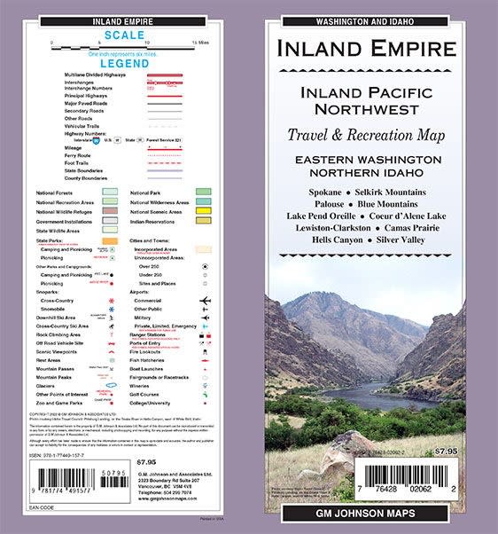
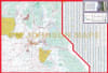
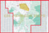
Explore the heart of the Inland Northwest with the most comprehensive Inland Empire Map available. This detailed regional map covers the diverse landscapes of Eastern Washington and Northern Idaho, providing essential navigation for commuters, travelers, and outdoor enthusiasts. Whether you are navigating the rolling hills of the Palouse, visiting the University of Idaho in Moscow, or exploring the rugged terrain of Hells Canyon near Lewiston and Clarkston, this map offers unmatched clarity and detail.
Comprehensive Regional Coverage Includes:
Major Hubs: Detailed street and road indexing for Pullman, WA (Washington State University), Moscow, ID (University of Idaho), and the Lewiston-Clarkston valley.
The Palouse & Clearwater Region: Navigate through Colfax, Palouse, Potlatch, Genesee, and Troy with ease.
Northern Idaho Wilderness: Expert coverage of Idaho, Lewis, and Nez Perce Counties, including gateway towns like Grangeville, Orofino, Kamiah, and Riggins.
Rural Connectivity: Accurate routing for smaller communities such as Asotin, Bovill, Deary, Juliaetta, Peck, Pierce, and Winchester.
Engineered for durability and legibility, this map is the perfect companion for cross-state travel between Washington and Idaho, university visits, or backcountry adventures along the Clearwater River.