QUESTIONS? CALL OR TEXT! 1 (877) 921-6277 or (403) 266-2241
WE SHIP EVERYWHERE!

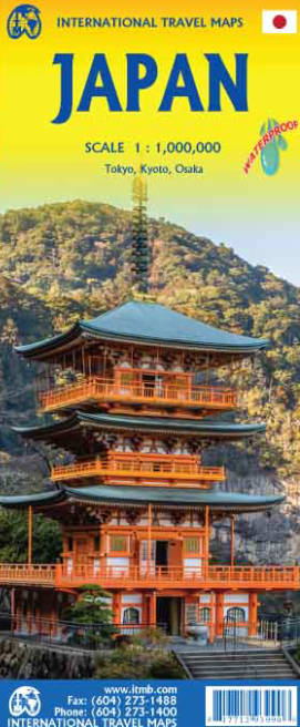



Discover the Japanese archipelago with absolute confidence using the authoritative, double-sided Japan Travel & Road Reference Map. Purpose-built for independent road-trippers, rail travelers, backpackers, and cruise ship passengers, this high-precision 1:1,000,000 scale map provides a reliable, signal-free navigation guide across all four main islands and regional island chains.
Strategic double-sided coverage divides the country into northern and southern sections to maximize typography legibility, spatial detail, and index completeness. Printed on 100% waterproof and tear-resistant Polyart synthetic paper, this durable travel guide survives sudden rain showers, humid summer days, and constant field handling without fraying or ink bleeding.
High-Contrast Rail & Shinkansen Overlay: Features bold, color-coded transit tracking with bullet train (Shinkansen) routes highlighted in bright red and standard regional rail lines mapped in solid black for seamless rail pass travel.
Complete Highway & Logistics Grid: Details expressways (tollways), national highways, urban interchanges, major airports, and deep-water cruise ports for rental car drivers and cruise passengers.
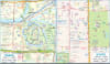
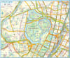
High-Density Metropolitan Insets: Includes dedicated street-level city inset maps for Tokyo, Kyoto, and Osaka on Side One, helping travelers locate major train terminals, historic quarters, and accommodations.
Subtropical Island Coverage: Side Two features specialized regional inset maps for Okinawa and the Satsunan Island chain.
Rich Cultural & Geographic Landmarks: Overlaid with clear iconography marking Shinto shrines, Buddhist temples, historic castles, national parks, UNESCO sites, and hot springs (onsen).
100% Waterproof & Tear-Resistant: Printed on Polyart synthetic material engineered to fold repeatedly without tearing, cracking, or degrading in extreme weather.
Whether navigating the bustling corridors of Tokyo Station, driving rural coastal routes in Hokkaido, or hiking historic trails in Kansai, this reference map is an essential physical companion for every Japan itinerary.