QUESTIONS? CALL OR TEXT! 1 (877) 921-6277 or (403) 266-2241
WE SHIP EVERYWHERE!

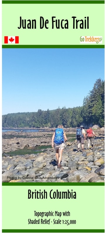

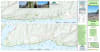
Conquer one of British Columbia’s most iconic coastal wilderness experiences with the Juan de Fuca Trail Hiking Map. Stretching 47 kilometers along the rugged southwestern coast of Vancouver Island, the Juan de Fuca Marine Trail is the perfect high-intensity alternative to the West Coast Trail. This specialized topographic guide covers the entire route from China Beach to Botanical Beach, providing hikers with the high-resolution detail needed to navigate steep ravines, tidal zones, and dense rainforest.
Rendered at an impressive 1:25,000 scale, this map offers double the detail of standard topographic sheets, making it an essential tool for timing tide crossings and identifying trail access points. Measuring 38" x 20", the map features advanced shaded relief to help you visualize the "up and down" nature of the shoreline terrain. Whether you are planning a multi-day thru-hike or exploring day-trip sections near Sooke or Port Renfrew, this map highlights all critical infrastructure: verified backcountry campsites, trailhead parking, pit toilets, and emergency exit points. Printed on durable paper and delivered in a protective sleeve, it is designed to survive the mist and mud of the Pacific Northwest.
Key Features:
Ultra-Detailed Scale: 1:25,000 resolution for precise navigation through technical coastal sections and forest switchbacks.
Full Trail Coverage: Detailed mapping from the China Beach trailhead to the tide pools of Botanical Beach.
Terrain Visualization: Rich shaded relief and contour lines bring the Vancouver Island coastline to life, highlighting elevation challenges.
Coastal Expedition Planning: Features essential markers for wilderness campsites, water sources, and beach access.
Strategic Marine Data: Includes coastal features and landmarks vital for safe travel along the Juan de Fuca Strait.
Field-Ready Format: The 38" x 20" dimensions provide a comprehensive view of the 47 km route while remaining manageable in the field.