QUESTIONS? CALL OR TEXT! 1 (877) 921-6277 or (403) 266-2241
WE SHIP EVERYWHERE!

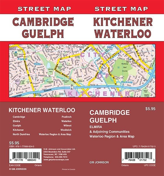


Navigate the heart of Southwestern Ontario’s "Technology Triangle" with this high-detail Kitchener and Waterloo Street Map. This all-in-one regional resource provides seamless coverage across the Tri-Cities, extending to Cambridge and Guelph. It is the most reliable guide for professionals and locals alike, featuring detailed layouts for Elmira, North Dumfries, Puslinch, Wilmot, and Woolwich.
This map is engineered for high-utility navigation, highlighting critical road designations and integrated transportation networks to simplify commuting across Waterloo Region and Wellington County. Users can easily identify municipal boundaries, essential public services, and prominent cultural centres. Whether you are coordinating logistics, exploring local heritage sites, or navigating rural townships, this map offers the precise geographic data needed for the entire region.