QUESTIONS? CALL OR TEXT! 1 (877) 921-6277 or (403) 266-2241
WE SHIP EVERYWHERE!

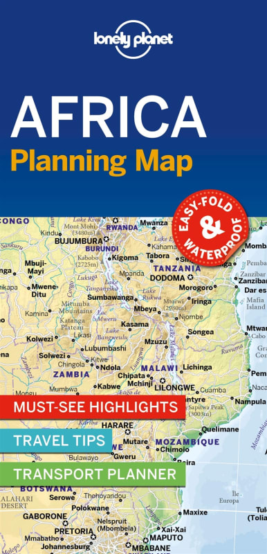
Visualize the vast scale of the African continent with the Lonely Planet Africa Planning Map. From the Mediterranean shores of Morocco and the ancient wonders of Egypt to the wildlife-rich plains of the Serengeti and the stunning landscapes of Cape Town, this full-color map is the essential strategic tool for navigating the world's second-largest continent.
Printed on premium matte paper and housed in a durable protective slipcase, this map is designed for the high-level planning stages of your African odyssey. Its signature easy-fold format is a traveler favorite, allowing you to open the map and fold it back perfectly every time—no more struggling with oversized sheets while plotting long-distance overland routes or coordinating multi-country flights.
Key Features include:
Continental Overview: A comprehensive look at all 54 African nations, highlighting major international borders and primary transport corridors.
Traveler’s Toolkit: Includes hand-picked top attractions, tailored itinerary suggestions, and themed travel lists to help you prioritize your journey.
Navigation-Ready: Features a detailed index of countries and major cities for quick orientation across diverse regions.
Inspirational Layout: High-quality imagery and a modern, user-friendly design provide instant geographical and cultural context.
Whether you are plotting a trans-Saharan expedition, a safari through Southern Africa, or a coastal exploration of the Maghreb, this map helps you "get to the heart" of Africa with confidence.