QUESTIONS? CALL OR TEXT! 1 (877) 921-6277 or (403) 266-2241
WE SHIP EVERYWHERE!

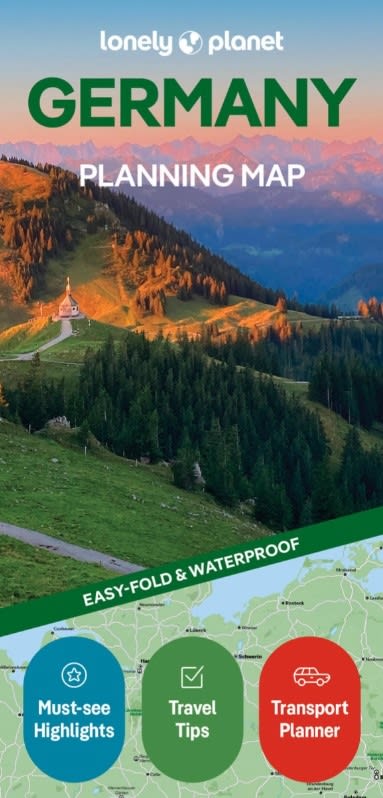
The Lonely Planet Germany Planning Map is the ultimate, durable navigation tool for travelers charting a journey through the heart of Europe. Blending Lonely Planet’s world-class travel insights with rugged, field-tested cartography, this easy-fold map is engineered specifically to streamline itinerary planning and road navigation across Germany’s 16 federal states.
Comprehensive Country-Wide Coverage: Detailed layout capturing all of Germany, from the Baltic and North Sea coastlines down to the Bavarian Alps, black forest reserves, and the Rhine Valley wine regions.
Transportation & Driving Networks: Features major Autobahn networks, scenic driving routes, primary highways, and key Deutsche Bahn rail connections for seamless transit between cities and countryside.
Top Sights & Regional Highlights: Pinpoints UNESCO World Heritage sites, fairy-tale castles, national parks, historical monuments, and cultural landmarks to help you craft the perfect road trip or train excursion.
Major Urban Insets & Orientation: Provides strategic spatial detail around major metropolitan hubs including Berlin, Munich, Frankfurt, Hamburg, Cologne, and Dresden.
Printed on premium synthetic paper, this map is 100% waterproof, tear-resistant, and tough enough to handle sudden weather changes or heavy daily use. Its specialized easy-fold design allows for quick opening and effortless refolding without creasing, cracking, or awkward misalignments—making it a stress-free addition to any daypack or glove compartment.
Whether you are embarking on a scenic road trip down the Romantic Road, exploring historic cities by train, or keeping an offline backup for peace of mind, the Lonely Planet Germany Planning Map is an essential travel companion.