QUESTIONS? CALL OR TEXT! 1 (877) 921-6277 or (403) 266-2241
WE SHIP EVERYWHERE!

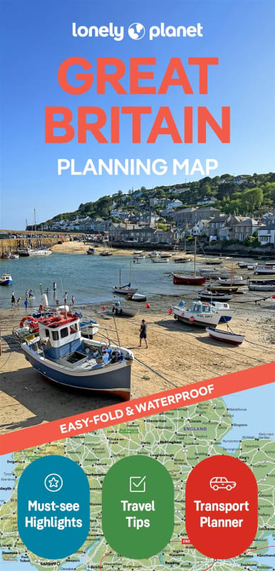
From the rugged peaks of the Scottish Highlands and the rolling hills of the Cotswolds to the vibrant streets of London and the dramatic Welsh coastline, the Lonely Planet Great Britain Planning Map is your ultimate strategic companion. This full-color map provides a comprehensive overview of England, Scotland, and Wales, making it the perfect tool for coordinating a cross-country rail journey or an epic British road trip.
Built to withstand the unpredictable British weather, this map is printed on durable, waterproof, and tear-resistant material. Whether you are caught in a Lake District drizzle, exploring the misty Isle of Skye, or planning your route at a sun-drenched coastal café, this map is designed to survive the elements. Its signature easy-fold format is a traveler favorite, allowing you to open the map in the passenger seat of a car or on a busy Great Western Railway train and fold it back perfectly every time—no more struggling with oversized, soggy paper sheets.
Key Features include:
Full Country Coverage: A detailed look at Great Britain’s extensive transport network, highlighting major motorways (M-roads), scenic A-roads, and primary rail lines.
Traveler’s Toolkit: Includes hand-picked top attractions, tailored itinerary suggestions (from the South West Coast Path to the North Coast 500), and themed travel lists.
Navigation-Ready: Features a detailed town index for quick location of historic cities, market towns, and national parks like Snowdonia and the Peak District.
Adventure-Proof: High-quality, waterproof finish housed in a protective slipcase for maximum longevity in your glove box or hiking pack.
From the Roman ruins of Hadrian’s Wall to the surf beaches of Cornwall, this map helps you "get to the heart" of Great Britain with confidence and ease.