QUESTIONS? CALL OR TEXT! 1 (877) 921-6277 or (403) 266-2241
WE SHIP EVERYWHERE!

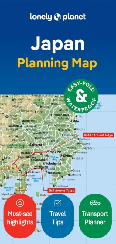
The Lonely Planet Japan Planning Map is an essential, high-durability navigation companion designed for independent travelers, rail adventurers, and culture seekers exploring the Japanese archipelago. Combining Lonely Planet’s world-renowned travel insights with rugged, weather-ready cartography, this easy-fold map simplifies macro-route planning and navigation across Japan's main islands.
Comprehensive Island Coverage: Detailed cartography spanning Honshu, Hokkaido, Kyushu, and Shikoku—from the bustling streets of Tokyo and historic temples of Kyoto to the snow capped peaks of the Japanese Alps and tropical beaches of Okinawa.
Shinkansen & Transport Networks: Clearly highlights high-speed Bullet Train (Shinkansen) corridors, major JR rail lines, primary expressways, and ferry routes for seamless trip coordination with a Japan Rail Pass.
Top Cultural & Natural Sights: Pinpoints UNESCO World Heritage sites, iconic shrines, historic castles, Mount Fuji, hot spring (onsen) towns, national parks, and vibrant culinary districts.
Major Urban Insets & Gateways: Features targeted regional spatial details for key urban hubs including Tokyo, Kyoto, Osaka, Hiroshima, Sapporo, and Fukuoka.
Printed on premium synthetic paper, this map is 100% waterproof, tear-resistant, and spill-proof—built to withstand humid summer heat, unexpected rain showers, and frequent handling on busy trains. Its specialized easy-fold design ensures quick opening and smooth, crease-free refolding, fitting comfortably into any daypack, coat pocket, or travel pouch.
Whether you are organizing a Golden Route itinerary, hopping high-speed trains, or keeping a reliable offline reference for regional travel, the Lonely Planet Japan Planning Map offers complete confidence on your journey.