QUESTIONS? CALL OR TEXT! 1 (877) 921-6277 or (403) 266-2241
WE SHIP EVERYWHERE!

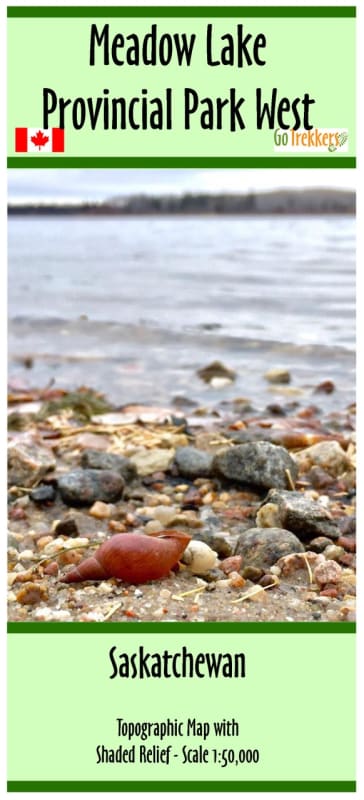

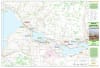
Navigate the dense forests and pristine waters of Saskatchewan’s premier wilderness destination with the Meadow Lake Provincial Park West Topographic Map. This high-detail, 1:50,000 scale map is the essential tool for backcountry explorers, anglers, and campers visiting the western reaches of this expansive park. Designed for field use, this map offers the topographical precision needed to navigate the complex shoreline of the Waterhen River system and the park's numerous glacial lakes.
Every feature critical for a successful outdoor excursion is clearly marked, including boat launches, campgrounds, and trailheads. The map provides an accurate rendering of the terrain, using contour lines to illustrate elevation changes across the Boreal forest landscape. Whether you are launching a canoe for a multi-day paddle, scouting for the perfect fishing spot, or hiking the rugged interior trails, this map ensures you have the most reliable geographic data at your fingertips. For maximum durability, the map is professionally folded and comes protected in a heavy-duty plastic sleeve, making it "backcountry ready" for any weather condition.