QUESTIONS? CALL OR TEXT! 1 (877) 921-6277 or (403) 266-2241
WE SHIP EVERYWHERE!

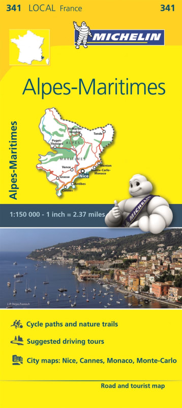
Explore the stunning diversity of the French Riviera and the rugged Southern Alps with the Michelin 341 Alpes-Maritimes Local Map. At a high-detail scale of 1:150,000, this map is the definitive resource for navigating the glamorous Mediterranean coastline of Nice and Cannes, as well as the dramatic mountain peaks of Mercantour National Park.
Designed for those who want to "find more than just their way," this map features Michelin's signature star-rated tourist itineraries and top-rated attractions, making it easy to plan the perfect day trip or multi-day tour. The inclusion of impressive 3D relief mapping allows you to visualize the steep terrain of the maritime Alps before you even start your engine.
Perfect for Active Travelers & Outdoor Enthusiasts:
Cyclist-Friendly: Extensive coverage of cycling paths and nature trails makes this an essential tool for road cyclists and mountain bikers.
Leisure Symbols: Over 20 specialized symbols indicating campsites, viewpoints, golf courses, and historical monuments.
Updated Road Network: Accurate mapping of all roads, from scenic coastal corniches to high-altitude mountain passes.
Compact & Durable: Designed for frequent folding and on-the-go reference during hikes or drives.
Whether you are seeking the glitz of the Côte d'Azur or the tranquility of a hillside village, this Michelin local map ensures you uncover the hidden gems of the Alpes-Maritimes region.