QUESTIONS? CALL OR TEXT! 1 (877) 921-6277 or (403) 266-2241
WE SHIP EVERYWHERE!

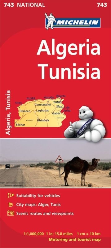
Plan an unforgettable journey through North Africa with the Michelin Algeria & Tunisia National Map. Featuring clear, high-accuracy mapping at a 1:1,000,000 scale, this regularly updated fold-out road map provides an expansive, reliable overview of major transportation routes, regional highways, and scenic drives across both countries.
Designed to give travelers and drivers complete navigation confidence, this map combines classic Michelin cartography with essential route-planning utilities:
Complete Location Index: A full name index for quickly locating cities, towns, administrative centers, and cultural points of interest.
Time & Distance Chart: An integrated driving matrix to help calculate travel times and route distances efficiently.
Clear Cartographic Key: Intuitive map symbols clearly identifying road types, border crossings, services, and geographic features.
Safe Driving Guidance: Proven, trustworthy road information designed to support safe navigation across desert highways, coastal corridors, and mountain passes.
Whether mapped for commercial logistics, long-distance overland expeditions, or regional vacations, the Michelin Algeria & Tunisia Map is your essential travel companion.