QUESTIONS? CALL OR TEXT! 1 (877) 921-6277 or (403) 266-2241
WE SHIP EVERYWHERE!

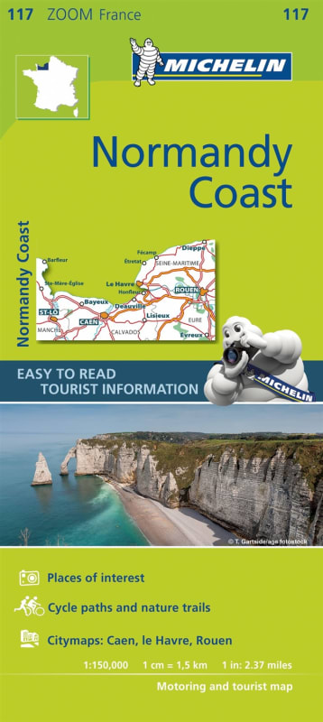
Explore the historic shores of Northern France with the Michelin Normandy Coast Zoom Map. This specialized travel companion is engineered at a high-precision 1:150,000 scale, making it the perfect tool for navigating one of France's most storied and tourist-dense regions. Providing comprehensive coverage from Dieppe and Rouen to Caen and St-Lô, this map is designed to handle high-density road networks while highlighting the latest infrastructure developments and industrial areas.
Beyond simple navigation, this Michelin map is a treasure trove of practical travel data. It features meticulously marked places and monuments of tourist interest, alongside curated picturesque tours for those seeking the most scenic routes through the Norman countryside. Outdoor enthusiasts will benefit from the clear signposting of bicycle tracks and greenways, as well as dedicated areas for sports and leisure activities. With integrated city plans and a detailed index of localities, this map ensures you can find your way from bustling port towns to quiet historical landmarks with the reliability and clarity that defines Michelin cartography.