QUESTIONS? CALL OR TEXT! 1 (877) 921-6277 or (403) 266-2241
WE SHIP EVERYWHERE!

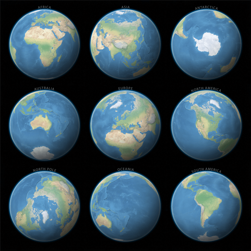
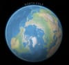
See the world from every angle with the Multi-Perspective Earth from Space Wall Map. This captivating 30x30 inch art-quality map features nine high-resolution satellite globes, each centered on a different region of our planet. By presenting the Earth in these distinct orthographic projections, the map provides a unique "astronaut's view" that traditional flat maps simply cannot replicate.
Each of the nine perspectives is meticulously rendered with true-to-life colors, showcasing the lush green of the Amazon, the golden sands of the Sahara, and the stark, icy expanse of the poles. The map includes dedicated views of:
The Seven Continents: Africa, Asia, Antarctica, Australia, Europe, North America, and South America.
The Polar Regions: A direct top-down view of the North Pole and the ice-bound South Pole.
Oceania: Centered over the vast Pacific to highlight the island nations and unique marine geography.
Set against a deep black cosmic background, this map is perfect for those who appreciate the intersection of science and art. It serves as a brilliant educational tool for understanding global perspectives, plate tectonics, and continental scale. Whether displayed in a classroom, office, or home gallery, this square-format masterpiece is the definitive visual tribute to our "Blue Marble."