QUESTIONS? CALL OR TEXT! 1 (877) 921-6277 or (403) 266-2241
WE SHIP EVERYWHERE!

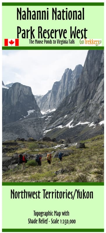


Navigate the legendary waters of Canada’s Northwest Territories with the ultimate river guide: the Nahanni National Park Reserve Topographic Paddling Map Set. Meticulously designed for wilderness canoers, kayakers, and rafters tackling one of the world's premier wild rivers, this two-map set covers the sweeping journey down the South Nahanni River from the Moose Ponds to Lindberg’s Landing. Printed at a comprehensive 1:250,000 scale with masterfully executed shaded relief, this map set allows expedition teams to visualize massive canyon walls, mountain valleys, and complex river topography with exceptional clarity.
Each map in this high-impact set measures a generous 41.5" x 28", offering an expansive, wide-format view of the river corridor. Far more than a simple topographical overview, this map is packed with critical, field-tested logistical data required to safely plan and execute a self-supported expedition through this remote UNESCO World Heritage site.
River Navigation & Rapid Classifications: Stay prepared for the water ahead with clearly marked rapid classes, technical river features, and safe portage routes.
Precise GPS Coordinates: Pinpoint locations seamlessly with exact coordinates formatted in both DMS (Degrees, Minutes, Seconds) and Decimal Degrees.
Essential Backcountry Waypoints: Accurate tracking for remote Parks Canada warden cabins, established backcountry campsites, emergency helicopter landing zones, and trailheads for wilderness day-hikes.
Points of Interest: Mapped locations for the park's iconic natural wonders, including Virginia Falls (Nááts'ihch'oh), Hell's Gate, and the towering First, Second, Third, and Fourth Canyons.
Printed on high-quality, regular presentation paper, this map set is perfect for plotting routes at home, framing as a piece of expedition art, or storing safely inside a waterproof map case inside your canoe or raft. Equip your expedition with the most detailed visual guide available for navigating the untamed South Nahanni River.