QUESTIONS? CALL OR TEXT! 1 (877) 921-6277 or (403) 266-2241
WE SHIP EVERYWHERE!

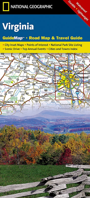

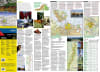
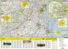
The Virginia National Geographic State Guide Map is an all-in-one premium travel resource that seamlessly combines a highly accurate, topographic road map with an extensive regional travel guide. Designed in direct partnership with local tourism and geographic authorities, this durable, dual-sided map serves as the perfect companion for road trippers, historical tourists, commuting professionals, and outdoor adventurers exploring the Old Dominion.
Comprehensive Multi-City Insets (Front Side): Features an easy-to-read, high-contrast highway map overlaid with precise terrain shading, plus detailed urban street-level insets for Washington D.C., Charlottesville, Lynchburg, Roanoke, Southwest Virginia, and the Colonial National Historical Park.
Historical & Cultural Urban Overviews (Back Side): Flips over to reveal dedicated city maps and tourist itineraries for Richmond and Hampton Roads, highlighting historic districts, maritime hubs, and local landmarks.
National Park Service & Recreation Guide: Provides essential visitor information, trail maps, and structural guidelines for Shenandoah National Park alongside a comprehensive directory of National Park Service sites across Virginia.
Curated Scenic Drives & Points of Interest: Showcases handpicked scenic byways, historical landmarks, battlefield sites, and cultural stopovers accompanied by beautiful full-color photography and descriptive text.
Travel-Tested Portability: Expertly engineered to fold away down to a pocket-friendly size while remaining remarkably resilient, making it a reliable, battery-free navigational tool for vacation planning or professional business travel.