QUESTIONS? CALL OR TEXT! 1 (877) 921-6277 or (403) 266-2241
WE SHIP EVERYWHERE!

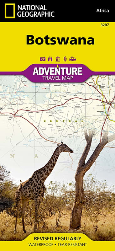

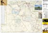
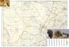
National Geographic's Botswana AdventureMap is expertly designed to meet the unique needs of adventure travelers, safari goers, and road-trippers exploring Southern Africa. Built with a focus on durability, accuracy, and rich geographic detail, this multi-use map combines a comprehensive road network with hundreds of points of interest highlighting Botswana's diverse recreational, ecological, cultural, and historic destinations.
Detailed Navigation Routes: Features clearly marked major highways, primary paved roads, secondary connectors, and off-road tracks and trails designed for four-wheel-drive ($4\times4$) overland exploration.
Point-to-Point Distances: Complete with road designations and distance markers to help you accurately plan travel times between safari lodges, national parks, and remote towns.
Indexed Settlements: Includes the precise locations of thousands of cities, towns, and local villages paired with an easy-to-read geographic index for fast reference.
Front Side (Northern Safari Circuit): Highlights premier wildlife and wilderness destinations, including the Okavango Delta, Moremi Game Reserve, Chobe National Park, Nxai Pan National Park, Caprivi Strip Game Park, Zambezi National Park, and Victoria Falls.
Reverse Side (Central & Southern Regions): Covers the Central Kalahari Game Reserve, Khutse Game Reserve, Gemsbok National Park (Kgalagadi Transfrontier Park), Khama Rhino Sanctuary, and the capital city of Gaborone.
Printed in the USA on premium synthetic paper, this map is waterproof, tear-resistant, and tough—built to withstand hot safari vehicles, rain showers, and repeated folding in the field. Unfolding to 26 x 38 inches for wide visual planning and collapsing down to a compact 4.25 x 9.25 inches, it fits effortlessly into a backpack or glove compartment.
Every purchase supports the non-profit mission of the National Geographic Society in global exploration, conservation, and education.
Click to see a zoomed in view of this map...