QUESTIONS? CALL OR TEXT! 1 (877) 921-6277 or (403) 266-2241
WE SHIP EVERYWHERE!

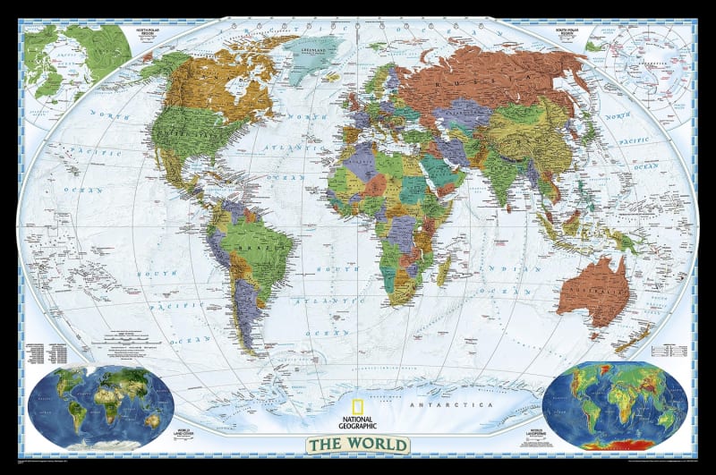
Elevate your home or office with the National Geographic World Decorator Wall Map, a masterpiece of cartographic excellence and aesthetic beauty. Known for its signature "Decorator" style, this map uses a vibrant palette of bright, saturated colors to distinguish political boundaries, making it a striking focal point for any room. More than just a piece of art, it represents the gold standard in accuracy, designed by the world-renowned cartographers at National Geographic.
To provide the most realistic view of our planet, this map utilizes the Winkel Tripel projection. Unlike traditional maps that stretch the Arctic and Antarctica, the Winkel Tripel minimizes the distortion of land masses as they approach the poles, providing a more balanced and accurate representation of the continents. Measuring a generous 46x30 inches, the map includes specialized insets that detail global vegetation cover and landforms, offering a deeper look into Earth's physical geography. Whether you are a student, a global traveler, or a design enthusiast, this map brings the world alive with unparalleled detail and classic National Geographic style.
Dimensions: 46 x 30 inches (Large format).
Projection: Winkel Tripel (Optimized for minimal area and shape distortion).
Style: "Decorator" – Bright political colors with high-contrast text.
Special Features: * Detailed insets for World Vegetation Cover.
Detailed insets for World Land Forms.
Cartography: Official National Geographic Society standards.
Most common world maps use the Mercator projection, which famously makes Greenland appear as large as Africa. National Geographic adopted the Winkel Tripel as its standard in 1998 because it provides the best compromise between representing the size, shape, and distance of the continents.