QUESTIONS? CALL OR TEXT! 1 (877) 921-6277 or (403) 266-2241
WE SHIP EVERYWHERE!

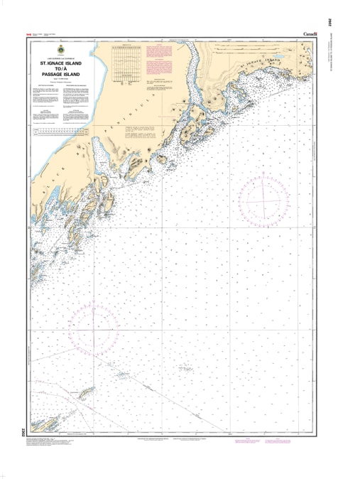
Navigate the deep, expansive stretches of Northern Lake Superior with Nautical Chart 2302. This professional-grade hydrographic map provides critical coverage for the waters between the rugged shores of St. Ignace Island and Passage Island, serving as a vital link for mariners traversing the northern reaches of the Great Lakes.
Chart 2302 is engineered to provide high-fidelity detail in a region known for its dramatic underwater topography and unpredictable conditions. It features precise bathymetric soundings, clear marking of offshore hazards, and the essential navigational aids required for a safe crossing. Whether you are conducting a commercial transit or exploring the remote wilderness of the Lake Superior National Marine Conservation Area, this chart offers the clarity and accuracy necessary for modern seamanship.
Key Features:
Comprehensive Coverage: Spans the northern corridor from the massive St. Ignace Island archipelago across to the light at Passage Island.
Hydrographic Precision: Includes updated depth contours, shoal locations, and critical coastal landmarks for the North Shore.
Maritime Safety: Clearly identifies shipping lanes and potential navigational obstacles in the open waters of Lake Superior.
Durable Design: Printed with high-contrast inks for maximum readability in both low-light conditions and direct sunlight on the bridge.