QUESTIONS? CALL OR TEXT! 1 (877) 921-6277 or (403) 266-2241
WE SHIP EVERYWHERE!

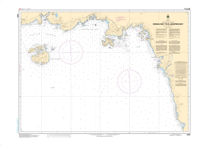
Navigate the rugged beauty of Lake Superior’s North Shore with Nautical Chart 2304. This essential hydrographic map provides high-resolution coverage for the coastal stretch from Oiseau Bay to Jackfish Bay, offering critical data for mariners traversing the northern wilderness of Ontario.
Chart 2304 is meticulously detailed to assist in navigating the deep waters and rocky inlets characteristic of this region. It includes precise depth soundings, identifies underwater shoals, and marks key navigational aids and landmarks. Whether you are anchoring in the shelter of Oiseau Bay or transiting toward the historic Jackfish Bay, this chart provides the visual accuracy needed for safe maritime operations in the Great Lakes' most powerful waters.
Key Features:
Detailed North Shore Coverage: Spans the corridor from the Oiseau Bay area through to the approaches of Jackfish Bay.
Hydrographic Accuracy: Features updated bathymetry, reef locations, and coastal topography.
Safety & Navigation: Clear marking of lights, buoys, and potential hazards in variable Lake Superior conditions.
Professional Quality: Printed for high visibility and durability, suitable for both commercial bridges and recreational cockpits.