QUESTIONS? CALL OR TEXT! 1 (877) 921-6277 or (403) 266-2241
WE SHIP EVERYWHERE!

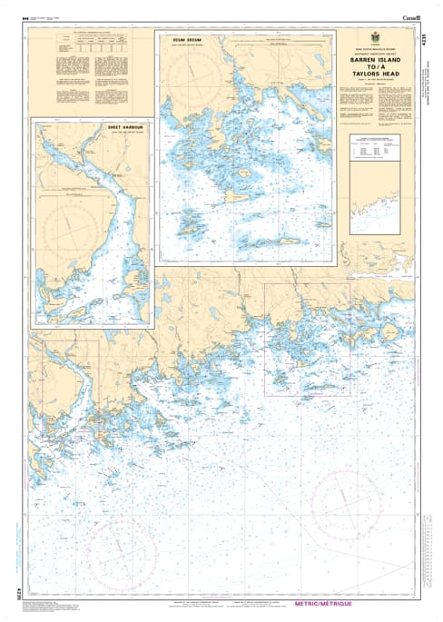
Navigate the central Eastern Shore of Nova Scotia with precision using Nautical Chart 4235. This vital hydrographic map provides high-resolution coverage for the coastal stretch from Barren Island to Taylors Head, guiding mariners through the rugged island chains and deep-water inlets of this pristine Atlantic corridor.
Chart 4235 is an essential tool for both offshore transit and coastal exploration. It features accurate bathymetric soundings, identifies treacherous submerged ledges and rocky shoals, and provides detailed topography for local landmarks like Ship Harbour and the Wild Islands. Whether you are a commercial fisher, a long-distance sailor, or a local recreational boater, this chart offers the reliable data needed to navigate Nova Scotia's weather-beaten coastline with confidence.
Key Features:
Detailed Regional Mapping: Comprehensive coverage of the Atlantic shore from Barren Island through to the prominent Taylors Head provincial park area.
Hydrographic Precision: Includes updated depth contours, reef locations, and essential navigational aids for the "Middle Shore."
Safety & Navigation: Clear marking of offshore hazards and channel markers, vital for navigating during the region's frequent fog and heavy swells.
Professional Grade: Designed with high-contrast markings for maximum readability in the cockpit or on the bridge in all lighting conditions.