QUESTIONS? CALL OR TEXT! 1 (877) 921-6277 or (403) 266-2241
WE SHIP EVERYWHERE!

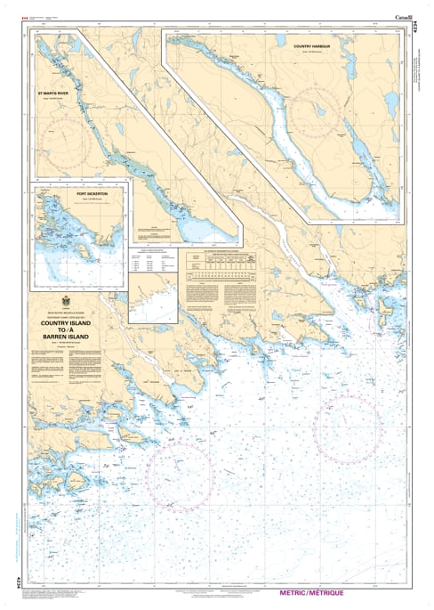
Navigate the rugged Eastern Shore of Nova Scotia with Nautical Chart 4234. This essential hydrographic map provides high-resolution coverage for the coastal transit between Country Island and Barren Island, offering critical data for mariners navigating the intricate waters of Guysborough and Halifax Counties.
Chart 4234 is a vital tool for coastal passage, featuring detailed bathymetric soundings, clear identification of rocky ledges, and precise topography for the numerous bays and inlets along this stretch. Whether you are navigating the approaches to Tor Bay or transiting the offshore islands, this chart provides the accuracy required to manage the Atlantic’s powerful swells and the area's complex navigational hazards.
Key Features:
Comprehensive Coastal Coverage: Maps the shoreline and offshore waters from the Country Island light to the Barren Island vicinity.
Hydrographic Accuracy: Includes updated depth contours, reef locations, and essential coastal landmarks for the Eastern Shore.
Safety & Navigation: Clear marking of navigational aids, including lights, buoys, and fog signals necessary for low-visibility conditions.
Professional Grade: Printed with high-contrast detail to ensure maximum readability in the challenging marine environments of the North Atlantic.